This map shows the spectacular sandstone peaks of Assynt at 1:40,000 scale on one sheet; includes Quinag, Suilven, Stac Pollaidh, Cul Mor and Ben More Assynt. The map area includes…
1:160,000 topographical map One of a set of 16 maps covering High Atlas of Morocco. Overview map of High Atlas, glossary, background information and pics on reverse.
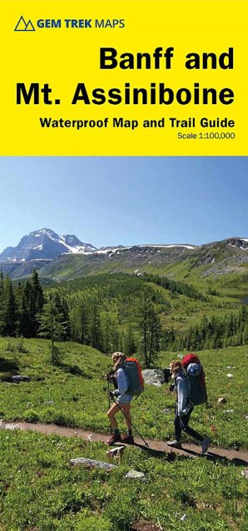
includes inset 1:50,000 Mount Assiniboine This map covers the most popular hiking and mountain biking terrain in Banff National Park, from Lake Louise in the north to the south end…
Printed on polyethylene – durable, tear-resistent and 100% waterproof Made in cooperation with the British Mountaineering Council and the Mountaineering Council of Scotland Colour shading for easy identification of Climb…
MAZZLE – the distinctive map jigsaw puzzle from HARVEY
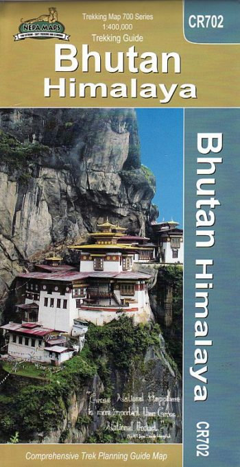
Bhutan at 1:400,000 on a map from the Kathmandu-based Nepa Maps highlighting main trekking routes, national parks and places of interest, plus maps of Thimpu City and the Paro area…
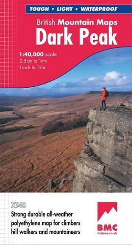
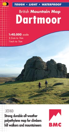
The historic 72 miles route completed by Bob Graham in 1932 is now a popular challenge. This new map is your essential guide, with recommended route and changeover points. Detailed…
The Brecon Beacons National Park is home to spectacular landscapes, a rich variety of wildlife and fascinating cultural and geological heritage. The area boasts a magnificent array of sandstone peaks…
Chiusa, Lazfons, Venturno, Scaleres, Rodengo, Luson, Plose / Klausen, Latzfons, Feldthurns, Schalders, Rodeneck, Lusen
With UTM grid ED50
Brianconnais – Queyras PNR region in a series of GPS compatible, contoured TOP 75 maps at 1:75,000 from the IGN, highlighting local and long-distance hiking paths, cycling routes and sites…
The MAZZLE is a fascinating map jigsaw puzzle which will delight walkers and jigsaw addicts. It is also an excellent souvenir.