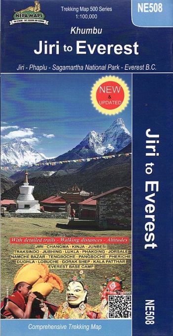
A detailed 1:100,000 map which covers the area and route from Jiri to Everest base xamp around Khumbu.
GPS compatible
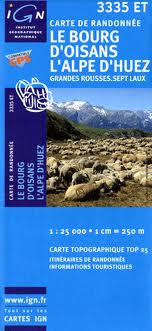
TOP 25 maps cover areas of particular tourist interest. The maps have an overprint highlighting local footpaths, long-distance GR routes and, where appropriate, ski routes. Other tourist information includes campsites…
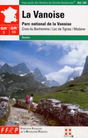
In winter the Savoie is the heart of French skiing but La Vanoise National Park, as the oldest national park in France, has been preserved from exploitation. The GR5 reaches…
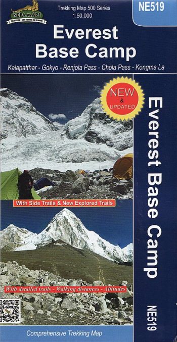
Kala Patthar and Gokyo trekking map
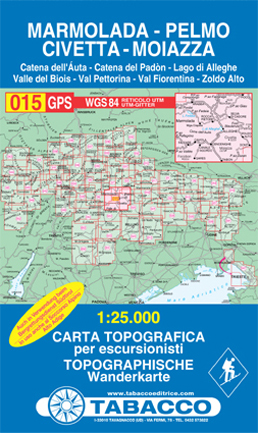
Catena dell’Auta, Catena del Padòn, Lago di Alleghe, Valle del Biois, Val Pettorina, Val Fiorentina, Zoldo Alto
Detailed ski map at 1:50,000 from Swisstopo, the country’s national survey organization, showing routes for skiing and/or snowboarding, access by public transport, recommended itineraries, lists of mountain huts, etc. The…
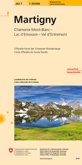
Martigny area, map No. 282T, at 1:50,000 in a special hiking edition of the country’s topographic survey
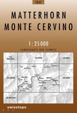
National 1:25 000 TOPO maps of Switzerland divided up in to 246 sheets. The most detailed maps of Switzerland, ideal for walking. SwissTopo 1:25 000 Brown Series
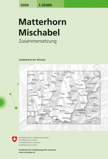
Matterhorn – Mischabel area, map No. 5006, in the standard topographic survey of Switzerland at 1:50,000 from Swisstopo, i.e. without the special overprint highlighting walking trails, local bus stops, etc…
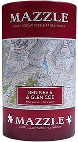
MAZZLE – the distinctive map jigsaw puzzle from HARVEY