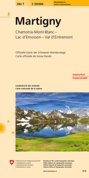
Martigny area, map No. 282T, at 1:50,000 in a special hiking edition of the country’s topographic survey
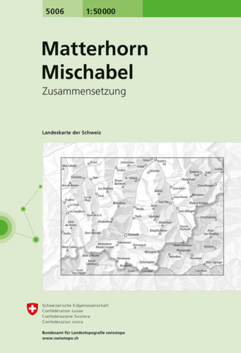
Matterhorn – Mischabel area, map No. 5006, in the standard topographic survey of Switzerland at 1:50,000 from Swisstopo, i.e. without the special overprint highlighting walking trails, local bus stops, etc…
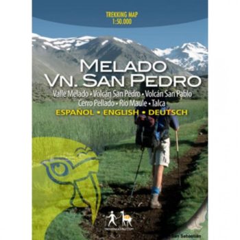
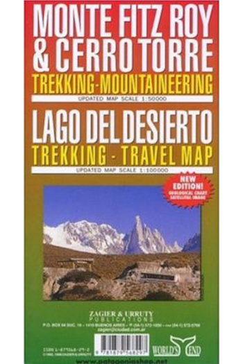
Chilean trekking maps with detailed full colour topographic maps with useful tourist information. Trekking routes clearly marked and includes recommended itineraries.
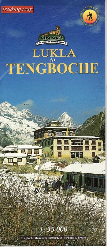
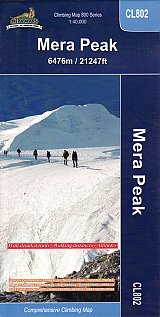
Trekking route to the Mera peaks at 1:40,000 in the Nepa Maps series which provides extensive coverage of trekking areas of Nepal
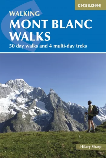
A guide to walking and trekking routes, on both the French and Italian sides of Mont Blanc (Monte Bianco), from Chamonix or Courmayeur. Includes 50 day walks and 4 short…
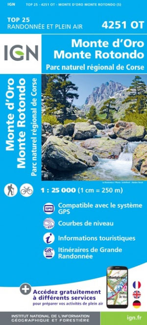
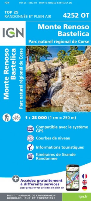
Topographic survey of France at 1:25,000 in IGN’s excellent TOP25
The map main at 1:50,000, centred on Monte Fitz Roy,
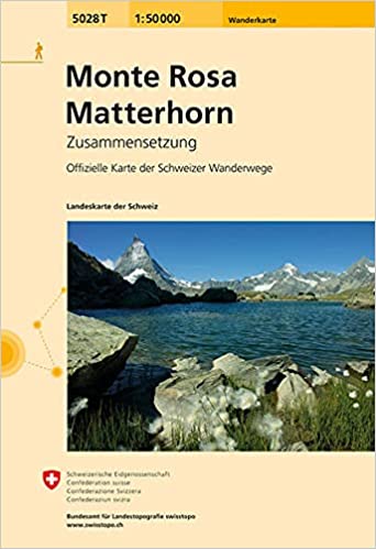
Monte Rosa – Matterhorn area, map No. 5028T, at 1:50,000 in a special hiking edition of the country’s topographic survey, published by Swisstopo in cooperation with the Swiss Hiking Federation….
Seasons passes open in late May with the season lasting through to early October
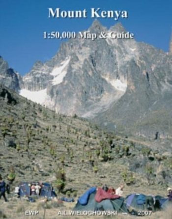
A detailed map of Mount Kenya at a scale of 1:50,000. Includes a local guide to the area.