Another walking guide describing the famous ‘Haute Route’ linking Chamonix with Zermatt – all sections of the route are photographed making the guide very easy to use and the guide…
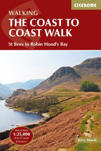
Guidebook and Ordnance Survey map booklet to the Coast to Coast Walk
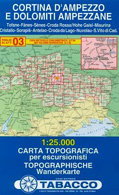
Cortina d’Ampezzo – Dolomiti Ampezzane in a series of Tabacco maps at 1:25,000 covering the Dolomites and the mountains of north-eastern Italy, with excellent cartography and extensive overprint for hiking…
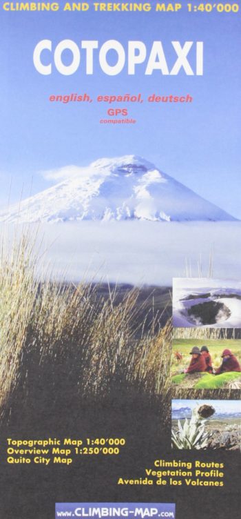
A 1:40 000 scale climbing and trekking topographical map with an overview map (scale 1:250 000) – also included: climbing and vegetation profiles and Quito City map.
The Great Himalaya Trail in Nepal has been split into 10 sections to reflect the diversity of landscapes and cultures as you move from East to West through Nepal. It…
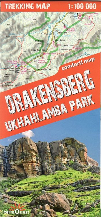
The map covers the whole of the Ukhahlamba Park – the highest and the most dramatic area of the Drakensberg, rich tourism content (including trekking routes, tourist infrastructure, natural attractions…
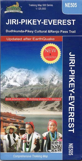
The Khumbu, Solu and Rolwaling regions of Nepal presented at 1:125,000 by Nepa Maps with highlighting of numerous trekking routes. Of main interest in this title are routes in the…
Stories of 50 incredible hiking routes in 30 countries
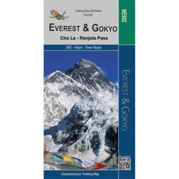
Everest – Gokyo – Cho La – Renjo Pass map at 1:60,000 from the Himalayan MapHouse,
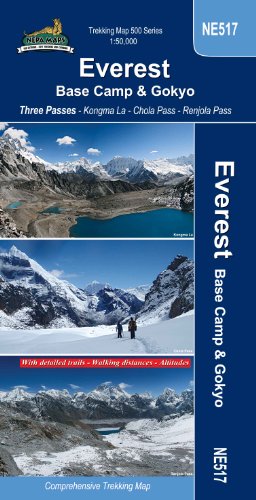
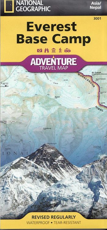
Everest Base Camp – Gokyo – Three Passes Trek map at 1:50,000 from Nepa Maps prominently highlighting the Three Passes Trek
The reverse portrays a general road map of Nepal, highlighting National Parks and nature reserves.
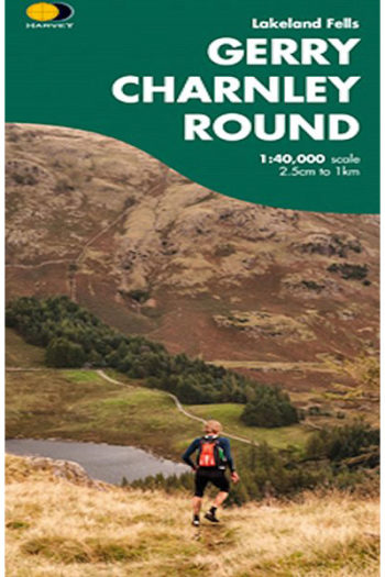
This route was devised in 1984 by friends of the late Gerry Charnley in recognition of the unique contribution that he made to pursuits involving strenuous exercise in the hills.