It includes 27 routes, ranging from the most popular to the road less traveled, covering the three main approaches through the Horcones Valley, South Face, and Vacas and Relinchos Valleys….
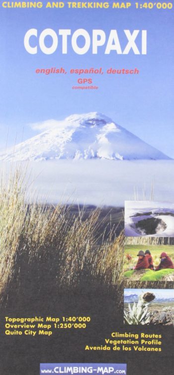
GPS compatible
A 1:40 000 scale climbing and trekking topographical map with an overview map (scale 1:250 000) – also included: climbing and vegetation profiles and Quito City map.
Stories of 50 incredible hiking routes in 30 countries
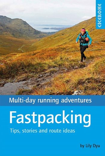
Guidebook to fastpacking – multi-day running trips carrying the bare essentials – in the UK, Europe and beyond!
Filling a gap in the market this new map is based on landsat satellite imaging with addition of contours. Legend includes: camps seasonal rivers dir road off road tracks glacier…
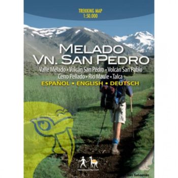
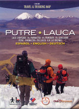
Chilean trekking maps with detailed full colour topographic maps with useful tourist information. Trekking routes clearly marked and includes recommended itineraries.
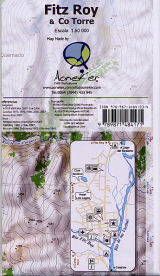
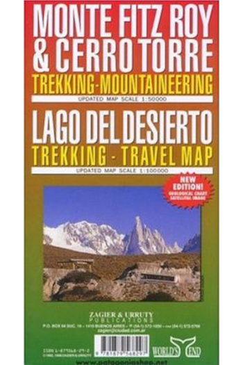
The map main at 1:50,000, centred on Monte Fitz Roy,
Chimborazo at 1:20,000 on a detailed contoured map showing climbing routes and mountain refuges, produced under the auspices of Consortium for the Comparative High-Mountain Research by the Heinrich Heine University…
This climbing guidebook describes every peak and climb in the area.
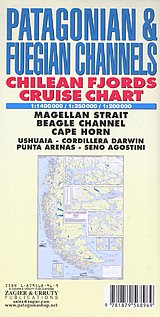
Historical and hydrographical chart. Cruise log for the intricate coast of the south of South America. Insets of Beagle Channel “Glaciers Avenue”, Agostini Fjord, Wulaia Inlet and Romanche Bay. All…
Putre – Lauca travel & trekking map 1:100,000 northern Chile / Bolivia