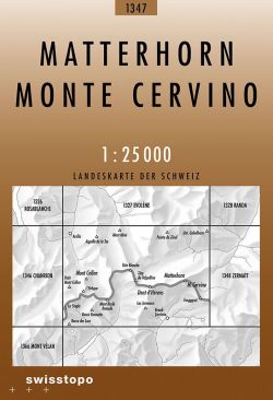
National 1:25 000 TOPO maps of Switzerland divided up in to 246 sheets. The most detailed maps of Switzerland, ideal for walking. SwissTopo 1:25 000 Brown Series
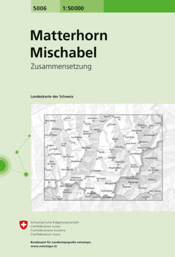
Matterhorn – Mischabel area, map No. 5006, in the standard topographic survey of Switzerland at 1:50,000 from Swisstopo, i.e. without the special overprint highlighting walking trails, local bus stops, etc…
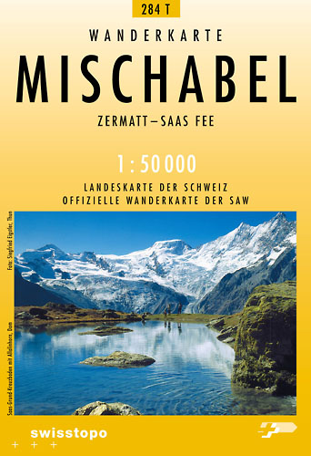
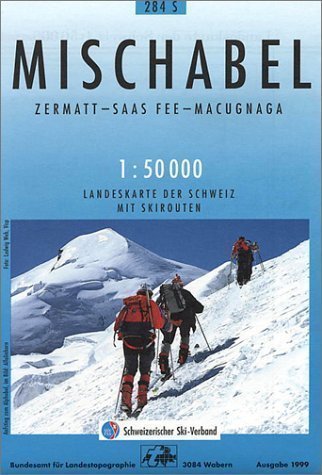
Detailed ski map at 1:50,000 from Swisstopo, the country’s national survey organization, showing routes for skiing and/or snowboarding, access by public transport, recommended itineraries, lists of mountain huts, etc. The…
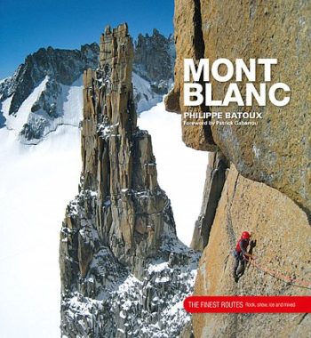
Mont Blanc – The Finest Routes is a collection of the 100 must-do climbing routes in the Mont Blanc Massif. Modern alpinism is a multi-faceted activity for which the Mont…
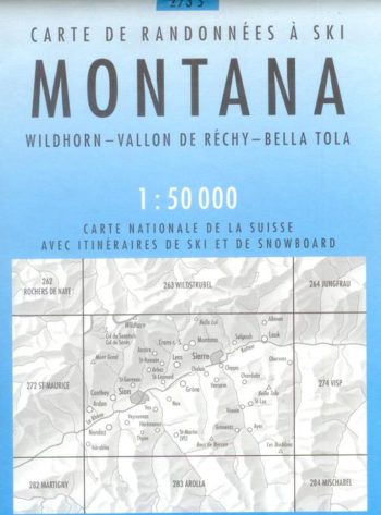
Montana 273S is a detailed map of the skiing area in and around Montana at a scale of 1:50,000.
Official maps of the Swiss Hiking Federation. These maps of the T series show the network of marked paths as well as the postal bus lines and stops. Additional tourist…
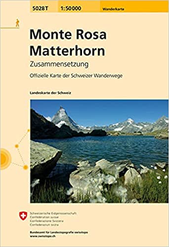
Monte Rosa – Matterhorn area, map No. 5028T, at 1:50,000 in a special hiking edition of the country’s topographic survey, published by Swisstopo in cooperation with the Swiss Hiking Federation….
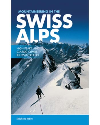
Mountaineering in the Swiss Alps presents a selection of classic routes in the main Swiss climbing areas that have forged Switzerland’s reputation as a mountaineering paradise. Featured are over thirty…
RRP £39.95
SwissTopo 1:25 000 Brown Series National 1:25 000 TOPO maps of Switzerland divided up in to 246 sheets. The most detailed maps of Switzerland, ideal for walking.
Easy to mid grade Alpine routes throughout the Bernese Oberland and Pennine Alps and outlying areas. Easy to follow topo descriptions and inspiring photos make route selection and following easy….