Everest’s Worst Disaster The Untold True Story; this new book takes a fresh look at the tragic events that took place on Everest in May 1996.
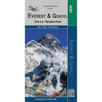
Everest – Gokyo – Cho La – Renjo Pass map at 1:60,000 from the Himalayan MapHouse,
The reverse portrays a general road map of Nepal, highlighting National Parks and nature reserves.
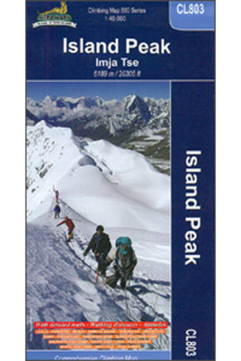
A detailed 1:30,000 map of Island Peak in the Everest region. This map covers a large ranges of altitudes, from 2800m – 6200m and covers some strenuous terrain and is…
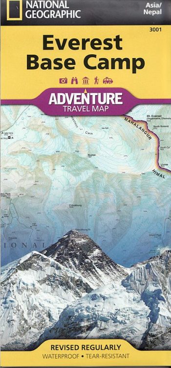
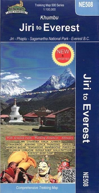
A detailed 1:100,000 map which covers the area and route from Jiri to Everest base xamp around Khumbu.
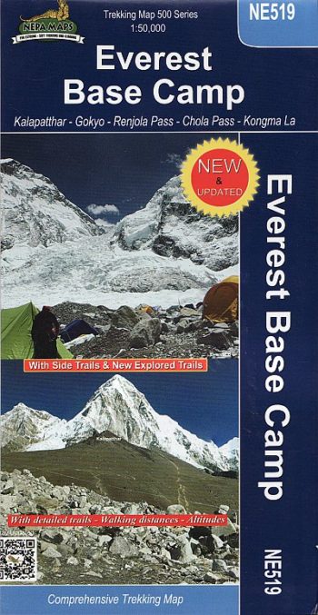
Kala Patthar and Gokyo trekking map
Contours at 40m intervals with relief-shading and peak and pass spot-heights. Index included for places, camps, peaks, cols, and lakes.