-
Member pricing
£4.50 -
Non-member pricing
£5.00
Out of stock
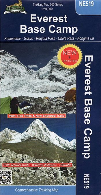
A topographic trekking map. Includes Jiri-Lamjura Pass-Junbesi-Lukla, Namche Bazar Syangboche, Tengboche-Kala Patthar-Everest Base Camp.
A detailed 1:100,000 map which covers the area and route from Jiri to Everest base camp around Khumbu.
The map covers areas from 1630m-5550m in height. The suggested routes can take between 9-21 days to complete.
The map covers the route via, Jiri, Bhandar, Junbesi, Lukla, Namche Bazar, Tenboche, Everest Base Camp.
| Weight | 80.00 g |
|---|---|
| ISBN | 9799993323692 |
| Publisher | Nepa Maps |
| Publish Date | 01 February 2006 |
| Binding | Folded Map |
Customer reviews
There are no reviews yet.