-
Member pricing
£16.19 -
Non-member pricing
£17.99
Out of stock
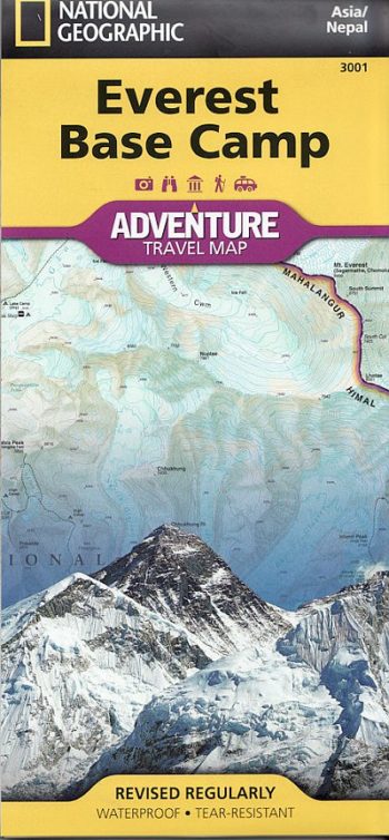
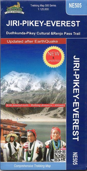
A full colour map covering Everest and its immediate neighbours- details include the trekking approaches and all the climbing routes on both the Nepalese and Tibetan sides. Clear and easy to use.
Contours at 40m intervals with relief-shading and peak and pass spot-heights. Index included for places, camps, peaks, cols, and lakes.
| Weight | 80.00 g |
|---|---|
| ISBN | 9789993347156 |
| Publisher | Nepa Publications |
| Publish Date | 01 November 2005 |
| Binding | Folded Map |

Customer reviews
There are no reviews yet.