-
Member pricing
£6.10 -
Non-member pricing
£6.75
Out of stock
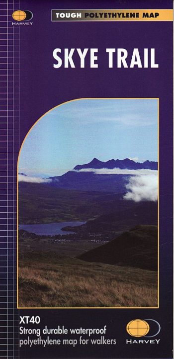
HARVEY Superwalker is designed to be the most practical tool for navigation outdoors.
The Superwalker XT25 is based on original HARVEY mapping with all the information a walker would expect on a map at 1:25,000 scale.
Includes;
12 Munros, 2 Corbetts and 5 Grahams all on one sheet. Ridge enlargement at 1:12,500 and a ridge diagram showing routes across or off the Cuillin Ridge. Walls and fences on farmland are now shown.
The clarity of the mapping has been improved to enable more people to read it without their glasses. The map is uncluttered by information irrelevant to the walker. The precise contouring and delicate hill shading give an immediate picture of the ground. Less than half the weight of a laminated map.
GPS compatible
Experience the satisfaction of fine navigation with the Superwalker XT25 now printed on our 100% waterproof and almost indestructible paper, whatever the weather!
Page Size: 130 x 250 mm
ISBN 10: 1851374078
ISBN 13: 9781851374076
Publisher: Harvey Maps
Published Date: February 2006
Edition: 2014
Binding: Sheet map (folded)
| Weight | 100.00 g |
|---|