RRP £39.95
RRP £42.95
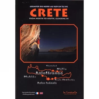
This guidebook describes 6 different rock climbing areas in Crete in the central part of the island. In total, over 250 routes are detailed across a wide range of grades…
Stimulates the blood flow and it can help relieve finger pain, numb fingers, or tiredness caused by repeated motions.
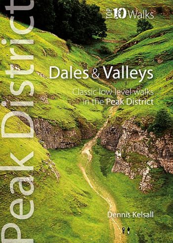
One of six books in the new Top 10 Walks: Peak District series – published by Northern Eye Books.
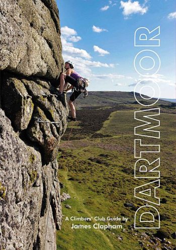
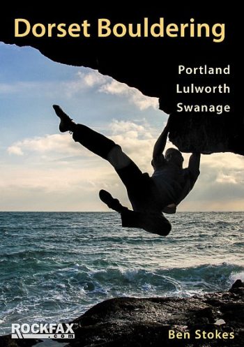
Packed with tongue-in-cheek Devonian wit and banter plus some 600 routes and 1200 boulder problems with full photo-topos.
Day Walks on the North York Moors is the sixth title in Vertebrate Publishing’s series of compact and portable hill walking guidebooks. This book showcases 20 circular walks, between 5…
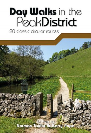
Day Walks in the Peak District – 20 classic circular routes is the full second edition of Vertebrate Publishing’s original guide to hill walking in the Peak District National Park.
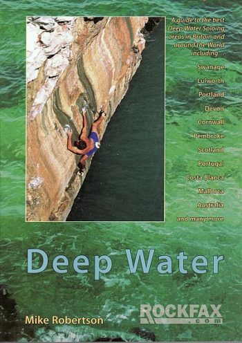
The information is presented in the full-colour Rockfax photo-topo style and includes crucial advice on when and how to tackle the deep water solos. The guidebook is enticingly illustrated with…
The National Geographic -Trails Illustrated folded map is your essential guide for outdoor exploration in Denali National Park. The brilliantly illustrated topographical representation shows all trails, campsites, and recreational features…
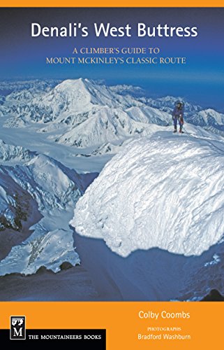
A Climber’s Guide gives the aspiring Denali climber the details required to efficiently plan and safely launch an expedition on the West Buttress.
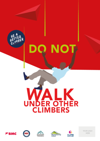
BMC Poster – ‘Do Not Walk Under Climbs’ Brilliant visual safety information for climbing walls and schools. A3 size.
Antelao, Marmarole, Crìssin, Pupèra Valgrande, Cridola, Monfalconi, Spalti di Toro, Croda de Cuz, M. Rite
Dolomiti di Braies/Pragser Dolomiten – Marebbe/Ennberg area in a series of Tabacco maps at 1:25,000 covering the Dolomites and the mountains of north-eastern Italy – Stanfords’ most popular maps for…
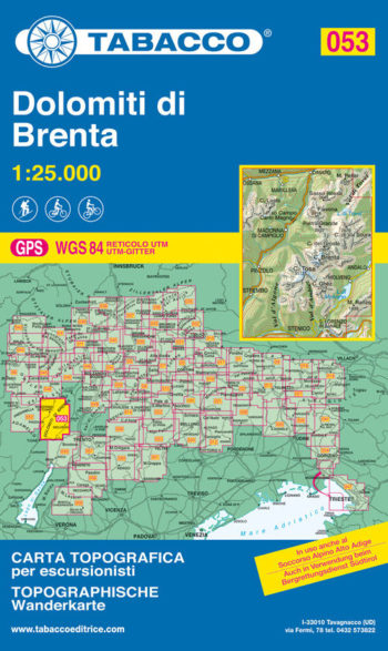
Madonna di Campiglio, Pinzolo, Fogarida, Molveno
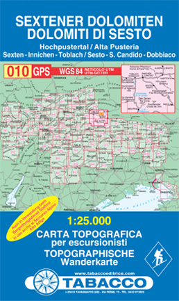
Dolomiti di Sesto/Sextener Dolomiten in a series of Tabacco maps at 1:25,000 covering the Dolomites and the mountains of north-eastern Italy with excellent cartography and extensive overprint for hiking routes.
Alta…
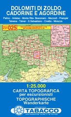
Pelmo, Antelao, Monte Rite, Bosconero, Mezzod , Pramp r, Talvena, T mer, S. Sebastiano, Civetta, Moiazza
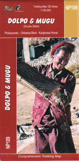
The Great Himalaya Trail in Nepal has been split into 10 sections to reflect the diversity of landscapes and cultures as you move from East to West through Nepal. It…
This Rockfax book is the first one to cover the bouldering in any depth. It completes the coverage adding a wealth of new information and is presented in the standard…
BMC Poster – ‘Double Check You’ve Clipped In’ Brilliant visual safety information for climbing walls and schools. A3 size.
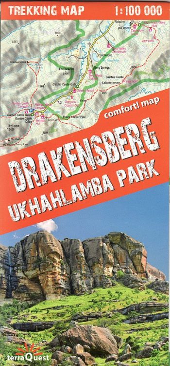
The map covers the whole of the Ukhahlamba Park – the highest and the most dramatic area of the Drakensberg, rich tourism content (including trekking routes, tourist infrastructure, natural attractions…
The definitive guide
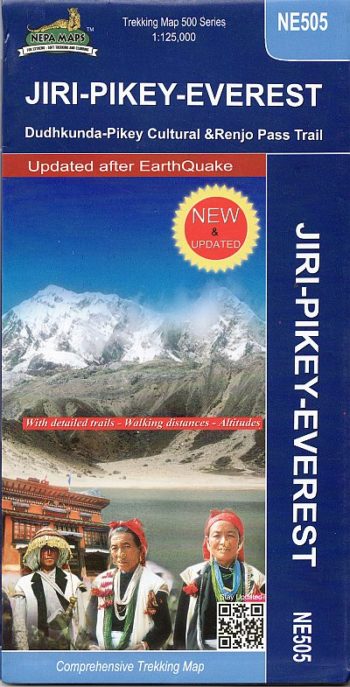
The Khumbu, Solu and Rolwaling regions of Nepal presented at 1:125,000 by Nepa Maps with highlighting of numerous trekking routes. Of main interest in this title are routes in the…
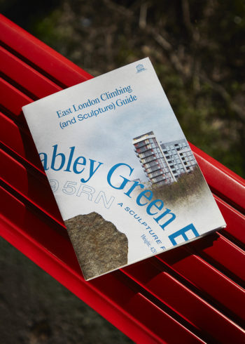
9x53cm (13x18cm folded) Offset printed in London on Recycled Paper (135gsm) Double-sided foldable poster guide to the Shoreditch Park and Mabley Green boulders, both part of the sculpture project ‘Boulder’…