Antelao, Marmarole, Crìssin, Pupèra Valgrande, Cridola, Monfalconi, Spalti di Toro, Croda de Cuz, M. Rite
Dolomiti di Braies/Pragser Dolomiten – Marebbe/Ennberg area in a series of Tabacco maps at 1:25,000 covering the Dolomites and the mountains of north-eastern Italy – Stanfords’ most popular maps for…
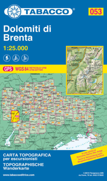
Madonna di Campiglio, Pinzolo, Fogarida, Molveno
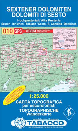
Dolomiti di Sesto/Sextener Dolomiten in a series of Tabacco maps at 1:25,000 covering the Dolomites and the mountains of north-eastern Italy with excellent cartography and extensive overprint for hiking routes.
Alta…
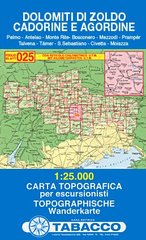
Pelmo, Antelao, Monte Rite, Bosconero, Mezzod , Pramp r, Talvena, T mer, S. Sebastiano, Civetta, Moiazza
The Great Himalaya Trail in Nepal has been split into 10 sections to reflect the diversity of landscapes and cultures as you move from East to West through Nepal. It…
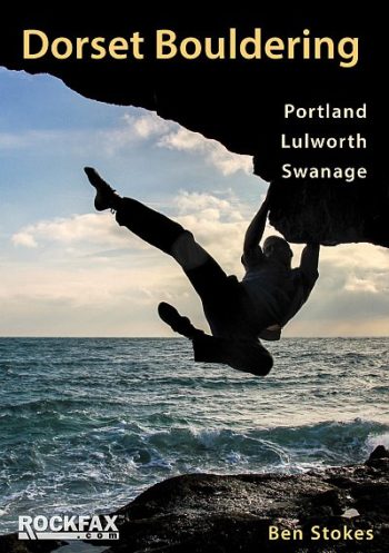
This Rockfax book is the first one to cover the bouldering in any depth. It completes the coverage adding a wealth of new information and is presented in the standard…
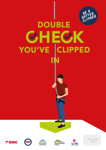
BMC Poster – ‘Double Check You’ve Clipped In’ Brilliant visual safety information for climbing walls and schools. A3 size.
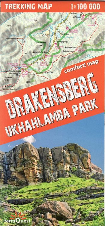
The map covers the whole of the Ukhahlamba Park – the highest and the most dramatic area of the Drakensberg, rich tourism content (including trekking routes, tourist infrastructure, natural attractions…
The definitive guide
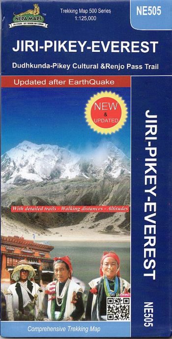
The Khumbu, Solu and Rolwaling regions of Nepal presented at 1:125,000 by Nepa Maps with highlighting of numerous trekking routes. Of main interest in this title are routes in the…
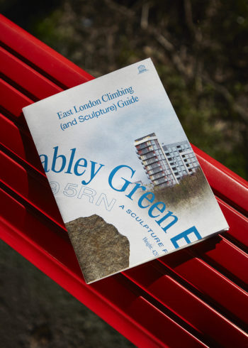
9x53cm (13x18cm folded) Offset printed in London on Recycled Paper (135gsm) Double-sided foldable poster guide to the Shoreditch Park and Mabley Green boulders, both part of the sculpture project ‘Boulder’…
RRP £37.95
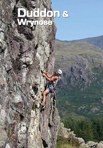
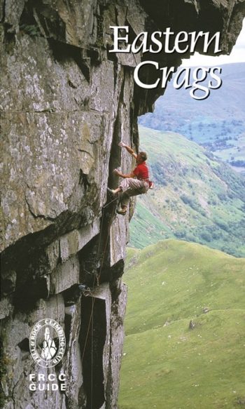
The Eastern Fells: Thirlmere, north to Carrock Fell and south to Kendal, east to Patterdale and beyond to the Far Eastern Fells, are home to some fantastic crags; Castle Rock…
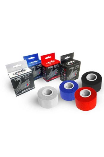
The 100% cotton, coloured finger tape comes with a serrated edge for easy tearing and is similar in consistency and adhesiveness to Metolius Tape.
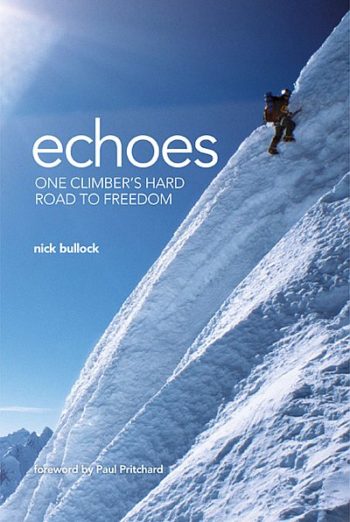
“As I sat cradling the man’s head, with his blood and brains sticking to my hands, I heard a voice – my own voice. It was asking me something. Asking…
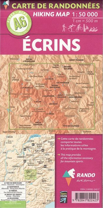
Map marked with: signposted hiking trail difficult stretch of hiking trail Ice hiking and/or high mountain route Ski lift open in summer Shelters Camping etc etc
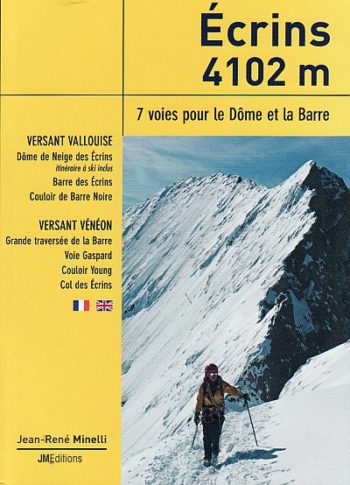
Mountain guide Jean-Rene Minelli provides the keys to seven selected routes, some classics, others overlooked, providing detailed descriptions and photodiagrams.
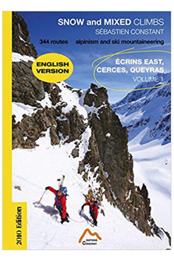
344 routes from straight-forward snow ‘plods’, mixed climbs of all grades and the classic mountaineering routes of the area
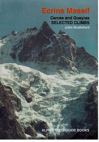
The Alpine Club Guidebook to the Ecrins Massif.
One of a new series of nine specialist Libris Maps for walkers covering the entire French alpine regions, plus Corsica. Each map is designed to cover fully the regional national…
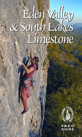
The limestone and sandstone crags and quarries described in this guide are scattered over a large area of North, East and South Cumbria outwith the Lake District, and a major…
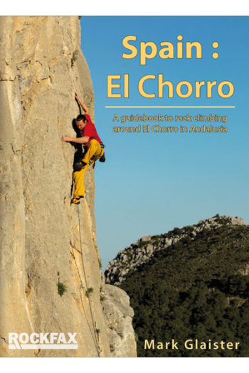
El Chorro is one of the legendary climbing areas of Spain. Famous for its iconic gorge, it has suffered from rumours of access problems over the years. Meanwhile the local…
GPS compatible
Stories of 50 incredible hiking routes in 30 countries
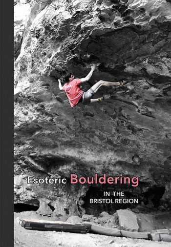
This new guide is a celebration of the bouldering to be had around an hours drive from the centre of Bristol.
Espresso Lessons takes the complicated fears, emotions, and doubts our mind creates while rock climbing and teaches us how to handle them and climb harder.
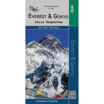
Everest – Gokyo – Cho La – Renjo Pass map at 1:60,000 from the Himalayan MapHouse,
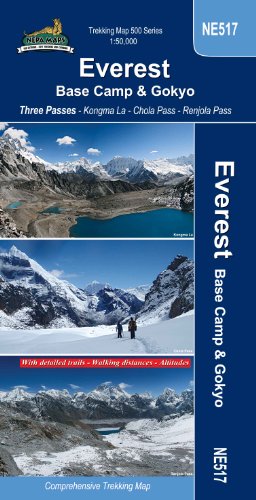
Everest Base Camp – Gokyo – Three Passes Trek map at 1:50,000 from Nepa Maps prominently highlighting the Three Passes Trek
The reverse portrays a general road map of Nepal, highlighting National Parks and nature reserves.
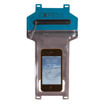
100% waterproof and transparent protector for electronics like smartphones
Transparent, submersible and versatile protective bag Reliable all-weather protection for smartphones and electronic devices Quick access thanks to zipper/seal lip closure Touchscreen can be used through TPU window The…
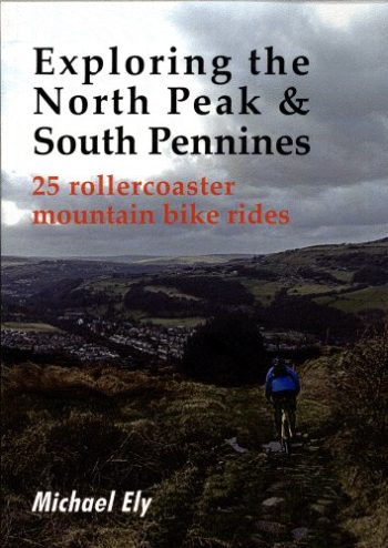
A new guide describing over 500 miles of off-road cycling exploring the tracks and steep lanes in and around the Pennine Hills.
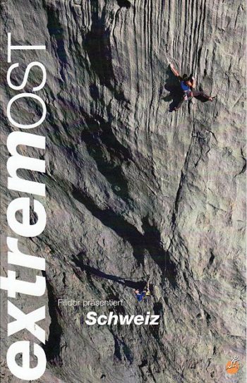
Grades 6a-9a; German and English language; drawn topos; 360 pages; colour action photos.
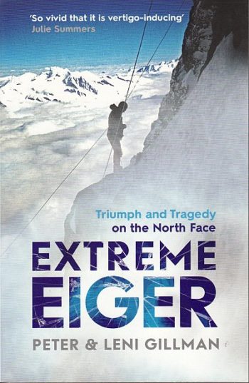
The North Face of the Eiger was long renowned as the most dangerous climb in the Swiss Alps, one that had cost the lives of numerous mountaineers. In February 1966…
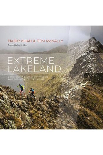
A stunning photographic celebration of all that makes the Lake District a magnet for those with a heart for adventure.