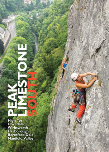
With over 60 crags, 1000s of climbs, first ascent details for both North and South Peak Limestone guidebooks, and details of trad routes, sport climbs, and punishing limestone boulder problems…
Peak Rock is a celebration of significant developments at the cutting edge of rock climbing in the Peak District, from the day that James W Puttrell first set foot on…
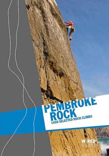
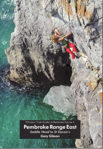
Pembroke Rock showcases over 1,050 climbs on the stunning cliffs of the South and North Pembrokeshire coasts.
The definitive guide
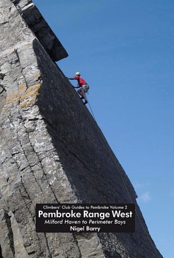
Pembroke Range West – volume 2 – is the last in the definitive series (but by Range West devotees is not viewed as the least). As the name suggests it…
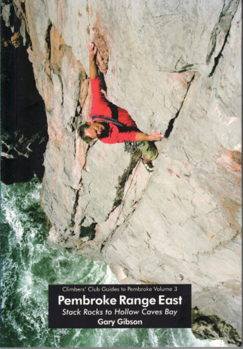
From the sombre cliffs and stacks near the Green Bridge of Wales via the imposing Mewsford Point all the way to Hollow Caves Bay this guidebook has it all. The…
Over 1,000 routes between VD and E10 all within 15 minutes flat walk of the car park, what more could you want?
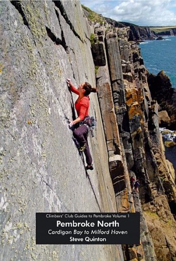
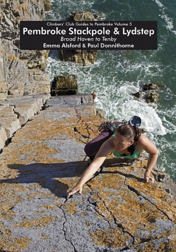
The new Pembroke Stackpole / Lydstep describes over 1100 routes over a fifteen mile stretch of the Pembrokeshire coastline
A guide to efficient climbing, this book covers the essential skills and techniques used to climb with minimal physical exertion. If you learn and develop these techniques, you will climb…
The Petzl Actik is a powerful and diverse, multi-beam headlamp packing 350 lumens and a red light.
A protective carrying case for your Petzl compact headlamps that transforms them in to a lantern.
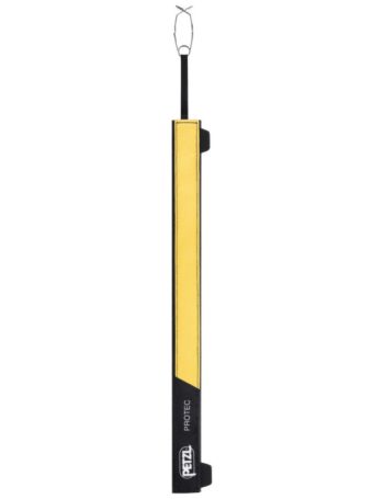
The PROTEC flexible protector is designed to protect a fixed rope from abrasion when working at height or during rescue.