In English, French and German languages, with symbol information and drawn (mostly – some photo) topos.
The guide is split into 5 areas; Haute-Savoie; Bas Valais-Vaud; Oberwallis; Gastlosen-Frutigland; and Interlaken-Grimsel.
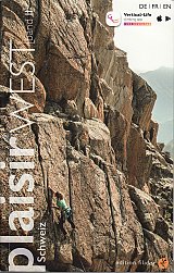
The Schweiz Plaisir West Volume 2 guidebook describes the rock climbing and sport climbing in the Western Swiss Alps and the French Alps. It covers an area from Annecy in…
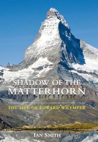
Richly illustrated with Whymper’s engravings and previously unpublished photographs, this biography – the first for 70 years – uses new material from the archives around the world, and from Whymper’s…
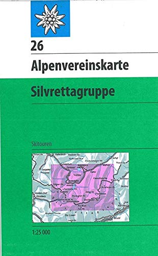
This detailed Paths and Ski map of the Silvrettagruppe is printed at the 1:25.000 scale. It includes coverage of the following places in Austria: Bielerhöhe, Chamonna Tuoi, Dreiländerspitze, Fluchthorn, Galtür…
Ski touring map from SwissTopo covering the French and Italian sides (and a corner of Switzerland) of the Mont Blanc area – Chamonix, Les Contamines, Courmayeur, and Grand St-Bernard.
This book is a celebration of mountain huts, showcasing the the sheer variety and sometimes quirky nature of these buildings that allow walkers, trekkers and climbers to access remote corners…
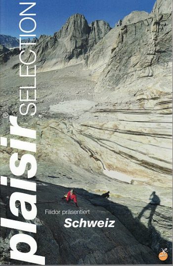
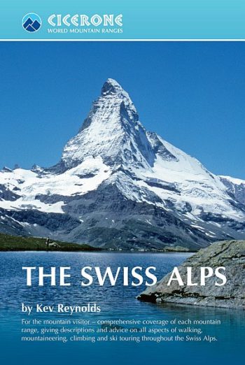
The Swiss Alps are home to the highest and most spectacular mountains in Western Europe. This stunning guidebook describes each mountain area throughout Switzerland – the peaks, passes, valleys and…
The White Spider of one of the most legendary and terrifying climbs in recorded history.
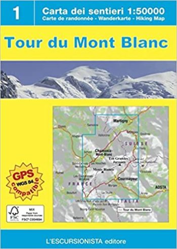
Map & guide for tour of Mont Blanc * map 1:50,000, gps compatible, printed on water-repellant paper * guidebook in 6 languages (Italian, French, English, German, Spanish, Dutch) includes 11…
RRP £12.95
RRP £14.95