-
Member pricing
£5.85 -
Non-member pricing
£6.50
Out of stock
This detailed Paths and Ski map of the Silvrettagruppe is printed at the 1:25.000 scale.
It includes coverage of the following places in Austria: Bielerhöhe, Chamonna Tuoi, Dreiländerspitze, Fluchthorn, Galtür, Gaschurn, Gross Litzner, Heidelberger Hütte, Partenen, Piz Buin, Seehorn, Silvrettahorn, Silvrettahütte, Tübinger Hütte, Vallüla, Verstanclahorn, Wiesbadener Hütte.
They are the best and most detailed maps of the German and Austrian Alps with contours at 20m intervals and shading. Hiking paths / Ski routes are clearly marked with waymarking numbers along with campsites, mountain huts and refuges.
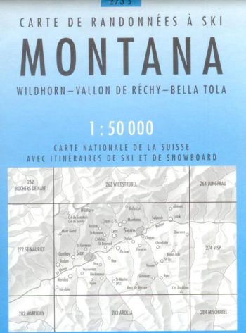
The map index can be found in the product photos. The traditional Alpenverein maps at 1: 25,000 are shown in dark green, the AV Bavarian Alps 1: 25,000 maps in blue and the 1: 50,000 maps from the Federal Office for Calibration and Surveying in yellow-green.
| Weight | 90.00 g |
|---|


Customer reviews
There are no reviews yet.