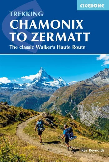
The classic walk described in this guidebook is in the shadow of great peaks from Mont Blanc to the Matterhorn, the Chamonix to Zermatt route skirts the northern slopes of…
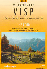
Lotschberg, Sudrampe, Brig, Simplon
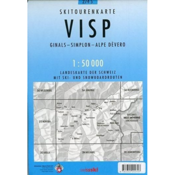
Detailed ski map at 1:50,000 from Swisstopo, the country’s national survey organization, showing routes for skiing and/or snowboarding, access by public transport, recommended itineraries, lists of mountain huts, etc. The…
Seasons May to end September is the best weather (but watch out for summer thunderstorms); huts manned in summer months
Detailed ski map at 1:50,000 from Swisstopo,
The waterproof and tear-resistant map that won’t let you down! These hiking maps cover well-known and popular hiking regions of Switzerland. They are very convenient, printed on both sides and…
SwissTopo 1:25 000 Brown Series National 1:25 000 TOPO maps of Switzerland divided up in to 246 sheets. The most detailed maps of Switzerland, ideal for walking.