Another walking guide describing the famous ‘Haute Route’ linking Chamonix with Zermatt – all sections of the route are photographed making the guide very easy to use and the guide…
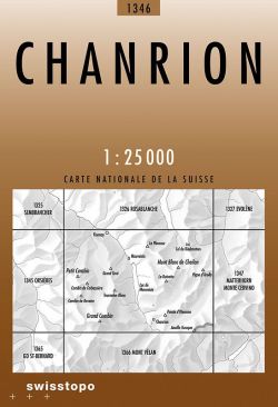
National 1:25 000 TOPO maps of Switzerland divided up in to 246 sheets. The most detailed maps of Switzerland, ideal for walking.
RRP £42.95
Stories of 50 incredible hiking routes in 30 countries
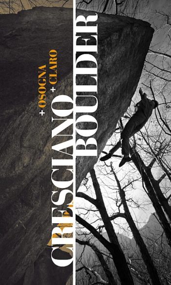
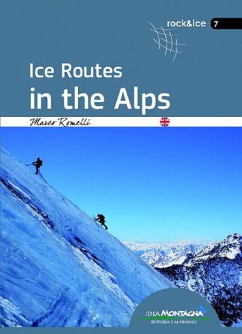
Grades 6a-9a; German and English language; drawn topos; 360 pages; colour action photos.
The North Face of the Eiger was long renowned as the most dangerous climb in the Swiss Alps, one that had cost the lives of numerous mountaineers. In February 1966…
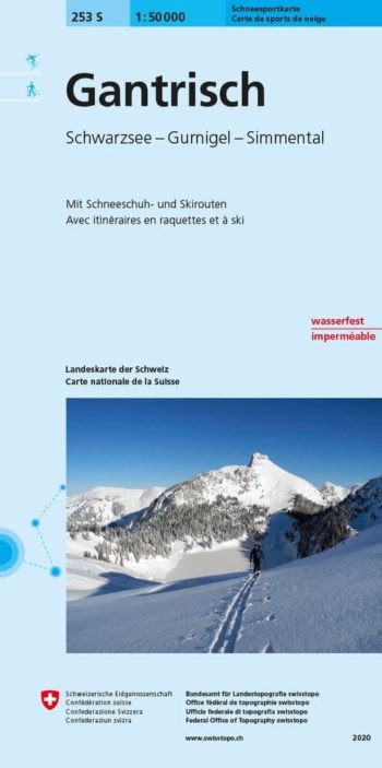
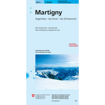
These Ski special sheets use the topographic survey of Switzerland at 1:50,000 from Swisstopo and are produced in Cooperation with the swiss Alpine Club (SAC). Includes Public Transport (Bus and…
National 1:25 000 TOPO maps of Switzerland divided up in to 246 sheets. The most detailed maps of Switzerland, ideal for walking. SwissTopo 1:25 000 Brown Series
RRP £34.95
Highly regarded for their superb use of graphic relief and hill shading, the maps give an almost 3-D picture of Switzerland’s mountainous terrain. Contours are at 10 m intervals, with…
Detailed ski map at 1:50,000 from Swisstopo, the country’s national survey organization, showing routes for skiing and/or snowboarding, access by public transport, recommended itineraries, lists of mountain huts, etc. The…
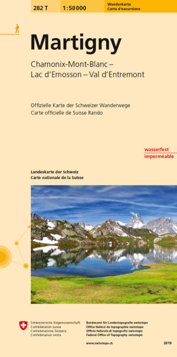
Martigny area, map No. 282T, at 1:50,000 in a special hiking edition of the country’s topographic survey