Standard topographic survey of Switzerland at 1:50,000
Footpaths and hiking trails including the TMB tour du mont Blanc, Via Alpina, european Long Distance Paths
Mont Blanc 4810m – 5 Routes to the Summit describes the five most classic routes to the “Roof of Europe”. The highly detailed route descriptions unveil the individual complexities and…
Ranging from backcountry ski touring classics to the toughest ski mountaineering challenges, this guide includes precise and complete descriptions of over 400 descents.
Selected Climbs: Mont Blanc & the Aiguilles Rouges presents the best rock climbs in the Mont Blanc range and on the Aiguilles Rouges, from F4 to F6a+.
RRP £24.95
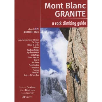
The Mont Blanc Range is renowed for the exceptional quality of its granite climbing – with hundreds of routes on perfect rock, the area draws climbers from all over the…
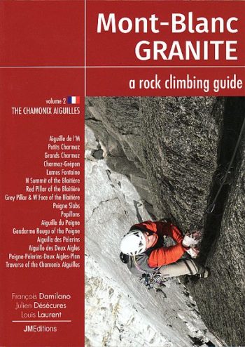
Volume 2 in the Mont-Blanc Granite series describes the best rock routes on the Chamonix side of the Chamonix Aiguilles from the Aiguille de l’M to the Aiguille du Plan.The…
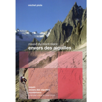
The Envers des Aiguilles covers a wealth of fantastic alpine rock climbing around the Requin Hut, the Envers des Aiguilles Hut and the banks of the Mer de Glace.
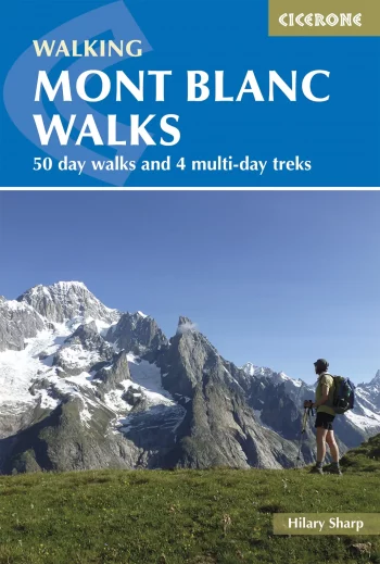
A guide to walking and trekking routes, on both the French and Italian sides of Mont Blanc (Monte Bianco), from Chamonix or Courmayeur. Includes 50 day walks and 4 short…
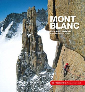
Mont Blanc – The Finest Routes is a collection of the 100 must-do climbing routes in the Mont Blanc Massif. Modern alpinism is a multi-faceted activity for which the Mont…
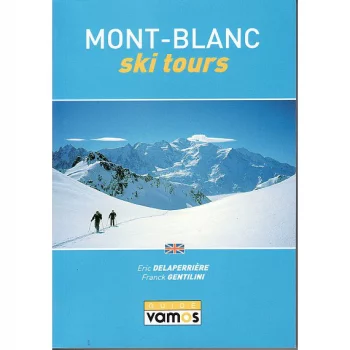
This guidebook, in English, describes, in detail, the principal ski tours of the Mont Blanc and Aiguille Rouge mountain ranges. It covers routes accessible from the French valleys of Les…
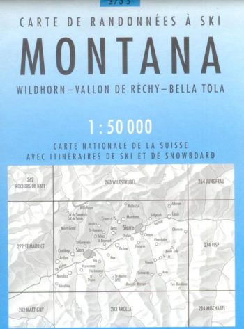
Montana 273S is a detailed map of the skiing area in and around Montana at a scale of 1:50,000.
Official maps of the Swiss Hiking Federation. These maps of the T series show the network of marked paths as well as the postal bus lines and stops. Additional tourist…
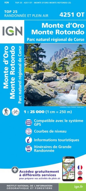
Topographic survey of France at 1:25,000 in IGN’s excellent TOP25
The map main at 1:50,000, centred on Monte Fitz Roy,
Monte Rosa – Matterhorn area, map No. 5028T, at 1:50,000 in a special hiking edition of the country’s topographic survey, published by Swisstopo in cooperation with the Swiss Hiking Federation….
1:50,000
One of six books in the new Top 10 Walks: Peak District series – published by Northern Eye Books.
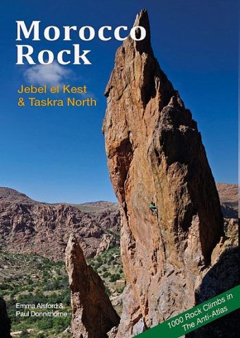
Morocco Rock is the definitive rock climbing guidebook covering the Jebel el Kest and Taskra north part of the Anti-Atlas in Morocco, all the regions in the book being about…
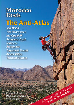
The Anti-Atlas, by Morocco Rock, is the latest selected climbs guide to Morocco’s winter sun trad climbing destination.
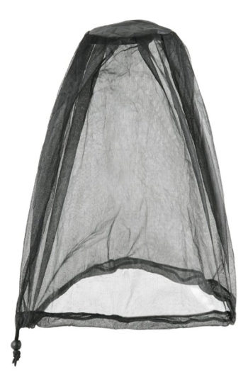
The mosquito and midge head net is made with our finest black mesh with 1001 holes per square inch.
Mount Gongga is located at the eastern edge of the Tibetan Plateau, between the Dadu River and the Yalong River, in the middle section of the Hengduan Mountains. It covers…