‘One Day As A Tiger’ gets at truths that very few biographies of mountaineers have touched.
Kenton Cool’s first venture into serious rock climbing was, fittingly, a ‘very severe’ one on the South Coast near Swanage that had Cool battling for his life, exhausted and exhilarated….
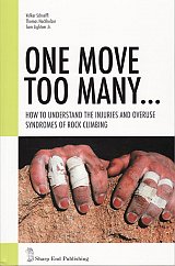
Rock climbers exert unique stress on their bodies both while training and during the focus of a redpoint.
Each of the 50 swim, bike, and run workouts is designed to fit into a lunch hour, including warm-up and cool-down. Athletes can choose a base, tempo, or speed workout…
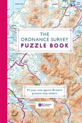
This is an ideal gift for anyone who loves maps, or just enjoys a challenge.
Map your way around Britain in 40 new regional maps,with hundreds of puzzles, mind-boggling brainteasers, navigational tests & word games.
SwissTopo 1:25 000 Brown Series National 1:25 000 TOPO maps of Switzerland divided up in to 246 sheets. The most detailed maps of Switzerland, ideal for walking.
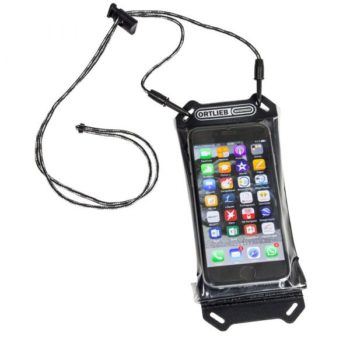
Your smartphones, tablets, e-readers and GPS devices need special protection when you take them along on a ride. This protection is provided by the practical Safe-it pouch, which comes in…
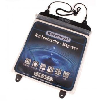
Ortlieb Waterproof Map Case. Outdoor environment battling chart case protects against those destructive elements. Keeps out sand and dust. Height: 27cm Width: 27cm
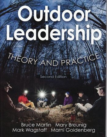
Outdoor Leadership, Second Edition, is the definitive text for developing student leadership in outdoor and adventure settings throughout the world. Crafted by an author team internationally recognized for their research…
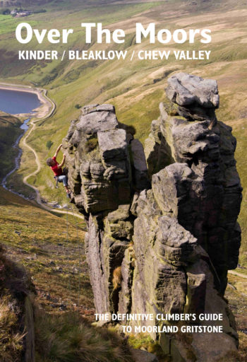
The upland gritstone crags that ring the mighty moorlands of Kinder, Bleaklow and the Chew Valley are some of the most noble outcrops in the land.
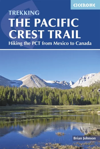
Guidebook to the Pacific Crest Trail (PCT), an epic 2650 mile hike from California’s Mexican border to Canada’s British Columbia. One of the world’s best hikes, the route passes through…
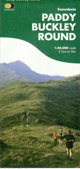
Detailed HARVEY mapping at 1:40,000 scale Clear and easy to read Waterproof Light to carry Can be used with GPS Ideal route planning tool
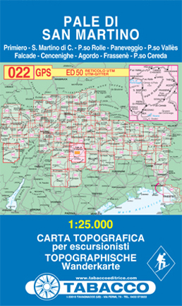
Primiero, S. Martino di Castrozza, P.so Rolle, Paneveggio, P.so Vallès, Falcade, Cercenighe, Agordo, Frassenè, P.so Cereda
This series of 11 topographical map sheets covers the major cities (Almaty, Bishkek, Dushanbe and Tashkent) and the Pamir and Tien Shan mountain ranges of Central Asia.
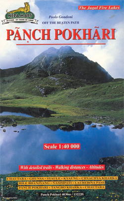
Chautara to Panch Pokhari trek in the Nepa Maps series which provides extensive coverage of trekking areas of Nepal on detailed contoured maps with trekking routes and hiking trails, huts…
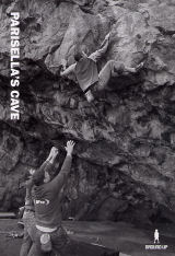
Over 100 problems and links with a grade range of V3/6a+ – V14/8b+, it features colour topos, an approach map and over 20 inspiring and illustrative action shots.
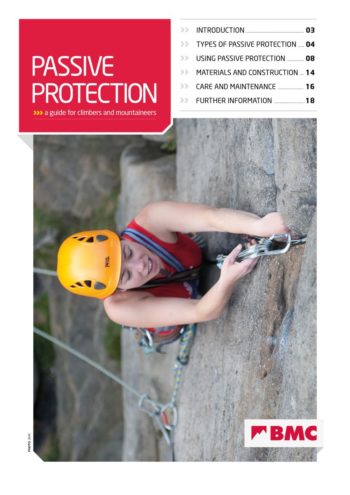
Essential gear for traditional rock climbing. Everything you need to kow about nuts, micro nuts, hexentrics and camming nuts.
This climbing guidebook describes every peak and climb in the area.
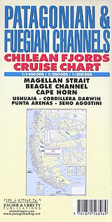
Historical and hydrographical chart. Cruise log for the intricate coast of the south of South America. Insets of Beagle Channel “Glaciers Avenue”, Agostini Fjord, Wulaia Inlet and Romanche Bay. All…
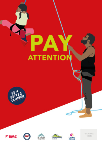
BMC Poster – ‘Pay Attention’ Brilliant visual safety information for climbing walls and schools. A3 size.
The Tour du Mont- Blanc route is clearly outlined in red, with huts and campsites also marked. Curiously, the village of Trient is not shown as such, but the sheet…
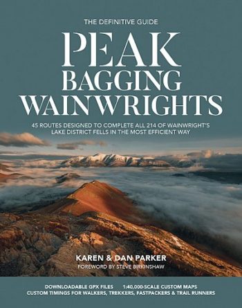
45 routes designed to complete all 214 Wainwright
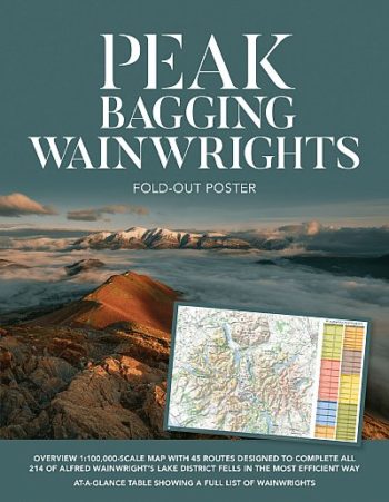
This poster (438mm x 672mm) is designed to give you an at-a-glance to 45 routes designed to help you complete all 214 of Alfred Wainwrights Lake district fells in the…