The famous Wolfgang Gullich once said: “The brain is the most important muscle for climbing.” Utilising the power of your mind will make the most of your existing strength, techniques…
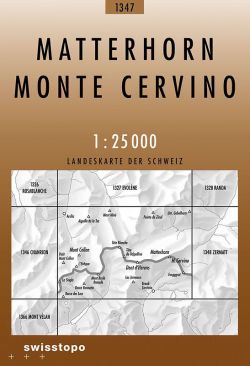
National 1:25 000 TOPO maps of Switzerland divided up in to 246 sheets. The most detailed maps of Switzerland, ideal for walking. SwissTopo 1:25 000 Brown Series
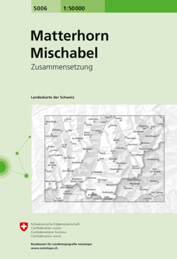
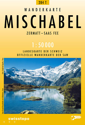
Matterhorn – Mischabel area, map No. 5006, in the standard topographic survey of Switzerland at 1:50,000 from Swisstopo, i.e. without the special overprint highlighting walking trails, local bus stops, etc…
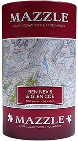
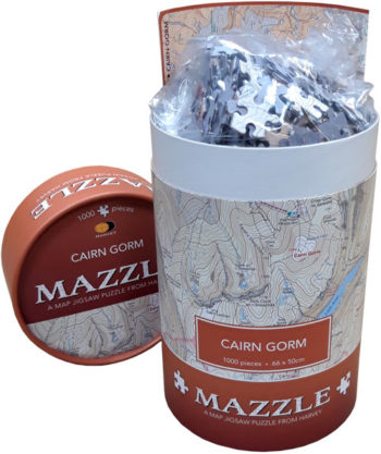
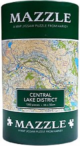
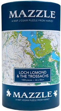
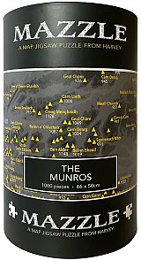
MAZZLE – the distinctive map jigsaw puzzle from HARVEY
The MAZZLE is a fascinating map jigsaw puzzle which will delight walkers and jigsaw addicts. It is also an excellent souvenir.
MAZZLE – the distinctive map jigsaw puzzle from HARVEY Loch Lomond & The Trossachs MAZZLE Just when you thought you had run out of ideas for gifts for your walking…
MAZZLE, the distinctive 1000 piece map jigsaw puzzle from HARVEY
How would you treat an attack of altitude illness high on a foreign mountain? This book provides expert information as well as procedures to be used in major and minor…
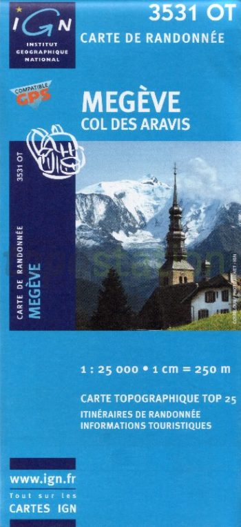
TOP 25 maps cover areas of particular tourist interest. The maps have an overprint highlighting local footpaths, long-distance GR routes and, where appropriate, ski routes. Other tourist information includes campsites…
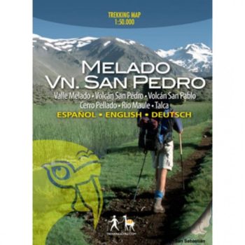
Chilean trekking maps with detailed full colour topographic maps with useful tourist information. Trekking routes clearly marked and includes recommended itineraries.
Almost 300 lines developed over the last three years is one of the main reasons that has led to the publication of this fourth edition
RRP £24.99
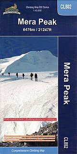
Trekking route to the Mera peaks at 1:40,000 in the Nepa Maps series which provides extensive coverage of trekking areas of Nepal
RRP £5.45
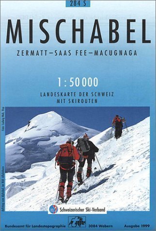
Detailed ski map at 1:50,000 from Swisstopo, the country’s national survey organization, showing routes for skiing and/or snowboarding, access by public transport, recommended itineraries, lists of mountain huts, etc. The…
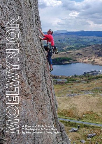
A comprehensive guide to rock climbing on the cliffs and crags surrounding Blaenau Ffestiniog and Dolwyddelan, this new Climbers’ Club guidebook showcases an often overlooked area of Snowdonia.
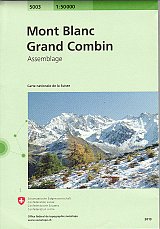
Standard topographic survey of Switzerland at 1:50,000
Footpaths and hiking trails including the TMB tour du mont Blanc, Via Alpina, european Long Distance Paths
Mont Blanc 4810m – 5 Routes to the Summit describes the five most classic routes to the “Roof of Europe”. The highly detailed route descriptions unveil the individual complexities and…
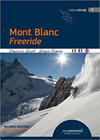
Ranging from backcountry ski touring classics to the toughest ski mountaineering challenges, this guide includes precise and complete descriptions of over 400 descents.
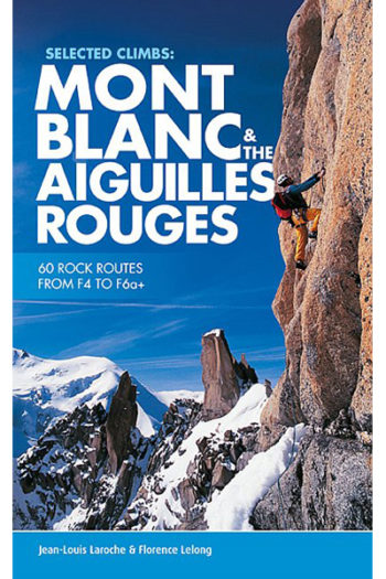
Selected Climbs: Mont Blanc & the Aiguilles Rouges presents the best rock climbs in the Mont Blanc range and on the Aiguilles Rouges, from F4 to F6a+.
RRP £24.95
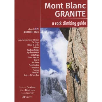
The Mont Blanc Range is renowed for the exceptional quality of its granite climbing – with hundreds of routes on perfect rock, the area draws climbers from all over the…
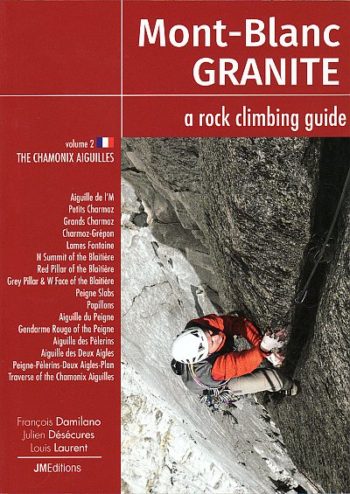
Volume 2 in the Mont-Blanc Granite series describes the best rock routes on the Chamonix side of the Chamonix Aiguilles from the Aiguille de l’M to the Aiguille du Plan.The…
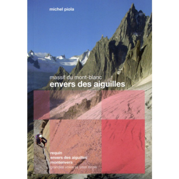
The Envers des Aiguilles covers a wealth of fantastic alpine rock climbing around the Requin Hut, the Envers des Aiguilles Hut and the banks of the Mer de Glace.
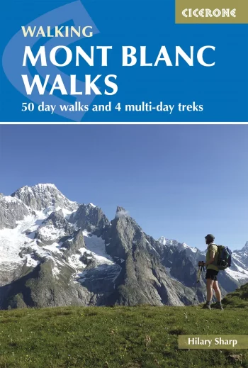
A guide to walking and trekking routes, on both the French and Italian sides of Mont Blanc (Monte Bianco), from Chamonix or Courmayeur. Includes 50 day walks and 4 short…
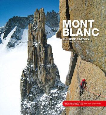
Mont Blanc – The Finest Routes is a collection of the 100 must-do climbing routes in the Mont Blanc Massif. Modern alpinism is a multi-faceted activity for which the Mont…
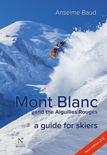
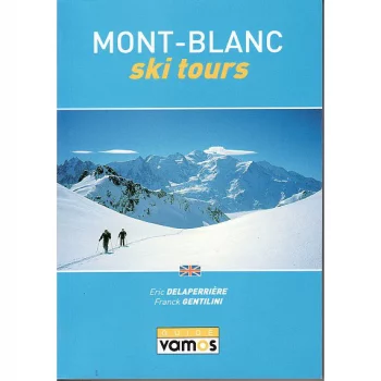
This guidebook, in English, describes, in detail, the principal ski tours of the Mont Blanc and Aiguille Rouge mountain ranges. It covers routes accessible from the French valleys of Les…
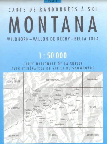
Montana 273S is a detailed map of the skiing area in and around Montana at a scale of 1:50,000.
Official maps of the Swiss Hiking Federation. These maps of the T series show the network of marked paths as well as the postal bus lines and stops. Additional tourist…
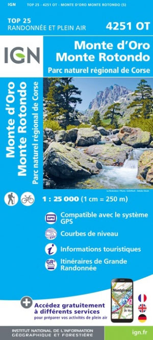
Topographic survey of France at 1:25,000 in IGN’s excellent TOP25
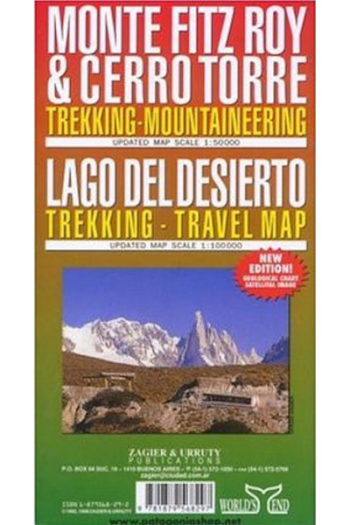
The map main at 1:50,000, centred on Monte Fitz Roy,