The 200km (125 mile) long Anglesey Coastal Path is a long distance route that follows much of the island’s coastline and comprises one section of the Wales Coast Path.
• Waterproof • Tear-Resistant • Travel Map
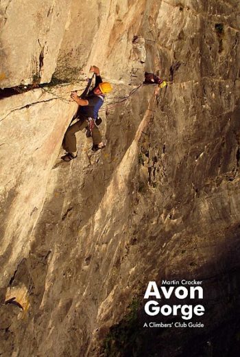
A no-nonsense guidebook covering the best routes at all grades.
2018 edition of a guidebook to a fantastic old destination – situated between Lake Garda and the Sarca Valley in the stunning Italian Lakes, Arco offers some of Europe’s best…
Arolla area, map No. 283T, at 1:50,000 in a special hiking edition of the country’s topographic survey, published by Swisstopo in cooperation with the Swiss Hiking Federation. The map covers…
Detailed ski map at 1:50,000 from Swisstopo, the country’s national survey organization, showing routes for skiing and/or snowboarding, access by public transport, recommended itineraries, lists of mountain huts, etc. The…
double-sided map – includes new trails and updates
The whole of the Annapurna Circuit prominently highlighted on a map at 1:125,000
Detailed maps of National Parks and other popular walking areas in the UK at 1:40,000 scale. Made in conjunction with the British Mountaineering Council.
The definitive guide
covering Morocco’s Atlas Mountains with its neighbouring deserts and coastal areas.
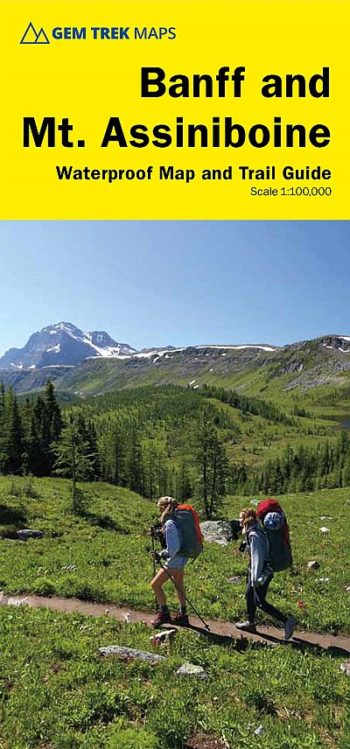
includes inset 1:50,000 Mount Assiniboine This map covers the most popular hiking and mountain biking terrain in Banff National Park, from Lake Louise in the north to the south end…