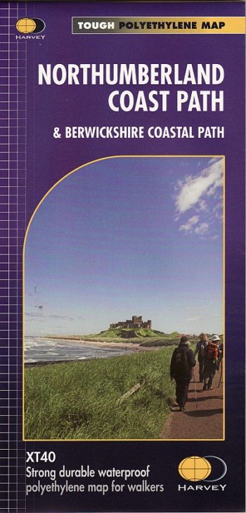
These routes are part of the North Sea Trail and offer some of the finest coastal walking in the country with rugged coastline, stunning cliff scenery and panoramic views.
This is an ideal gift for anyone who loves maps, or just enjoys a challenge.
Detailed HARVEY mapping at 1:40,000 scale Clear and easy to read Waterproof Light to carry Can be used with GPS Ideal route planning tool
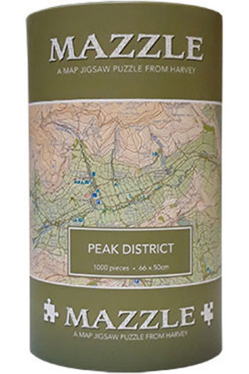
The MAZZLE is a fascinating map jigsaw puzzle which will delight walkers and jigsaw addicts. It is also an excellent souvenir.
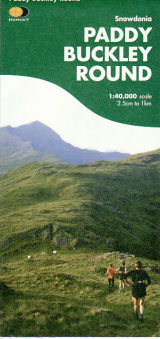
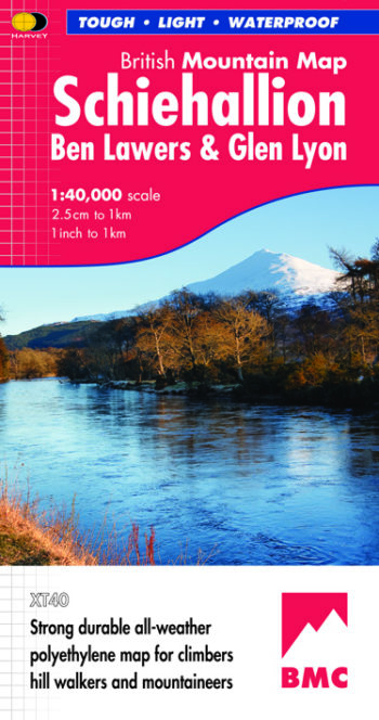
Detailed maps of National Parks and other popular walking areas in the UK at 1:40,000 scale. Made in conjunction with the British Mountaineering Council.
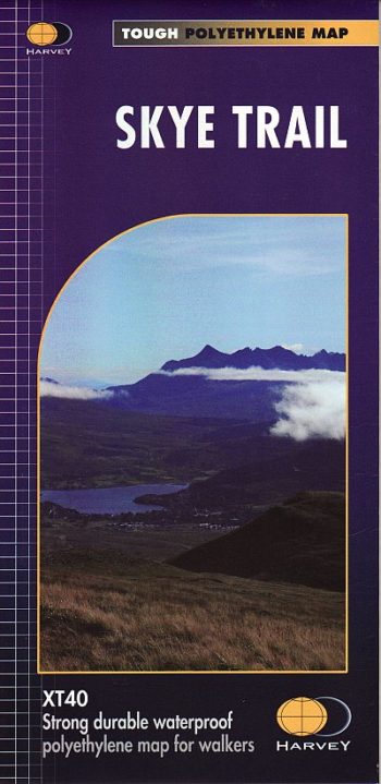
The route follows much of the amazing Trotternish Ridge and passes beneath the peaks and pinnacles of the Cuillin, which are considered to be the finest mountains in Britain. There…
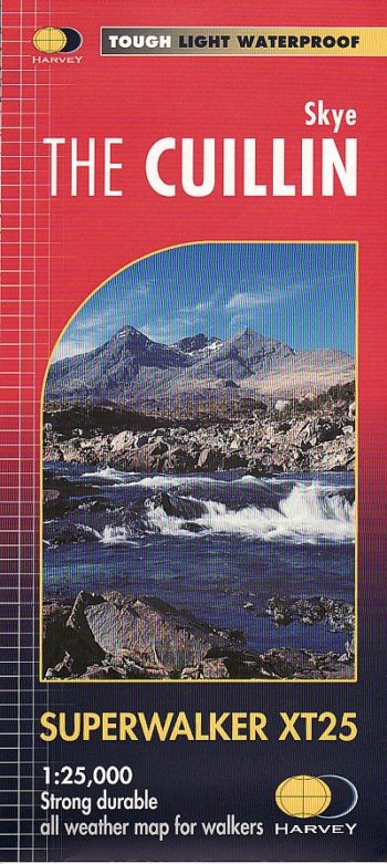
HARVEY Superwalker is designed to be the most practical tool for navigation outdoors. The Superwalker XT25 is based on original HARVEY mapping with all the information a walker would expect…
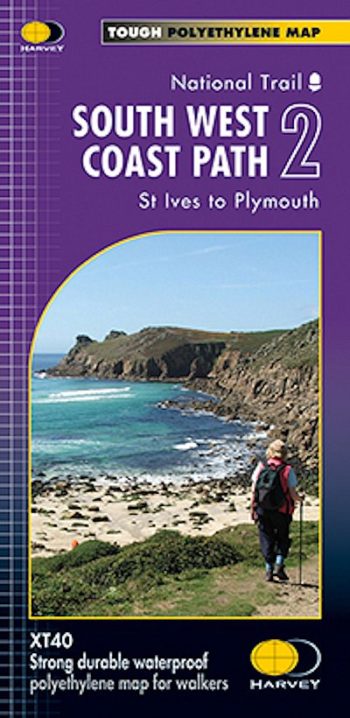
The whole of the South West Coast Path on 3 maps The South West Coast Path is Britain’s longest, and one of its most popular, National Trails. It runs along…
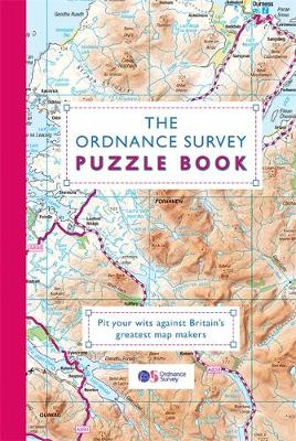
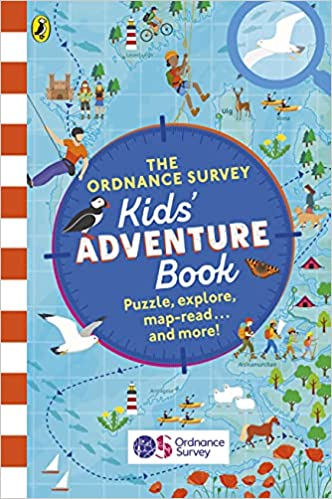
Want to become an expert map-reader? Want to explore the great outdoors armed with hints and tips from the map creators themselves? Then this is the book for you.
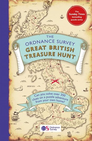
With over 330 puzzles ranging from easy to mind-boggling and an ultimate master puzzle with the chance to win real treasure, there’s only one question left.
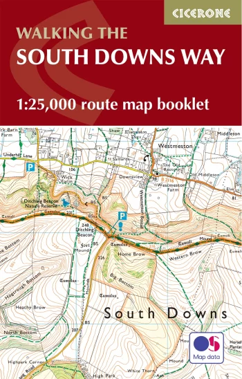
Map of the 100 mile (160km) South Downs Way National Trail, between Eastbourne and Winchester.
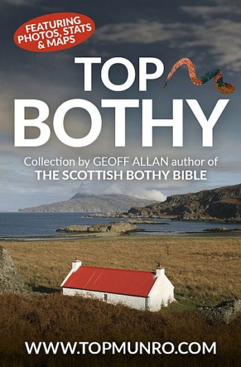
A fun celebration of Scotland’s unique heritage of rural sanctuaries for ramblers, hill-walkers and mountaineers.