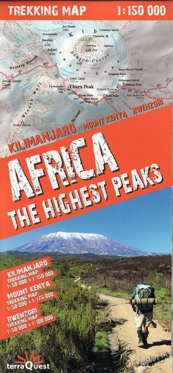
Africa: The Highest Peaks – Detailed trekking map of the higest peaks in Africa.
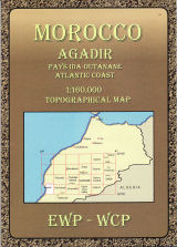
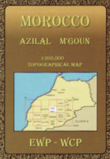
Covering Morocco’s Atlas Mountains with its neighbouring deserts and coastal areas.
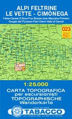
Feltre, Canale S. Bovo, P.so Broc n, Imer, Mezzano, Primiero, Gruppo del Pizzocco, Piani Eterni, Valle di Canz i
Sas de Putia / Peitlerkofel, Puez, Gherdenacia, Sella, Pad n, Col di Lana, Lagazuoi, F nes, Sas dla Crusc / Kreuzkofel
The 200km (125 mile) long Anglesey Coastal Path is a long distance route that follows much of the island’s coastline and comprises one section of the Wales Coast Path.
• Waterproof • Tear-Resistant • Travel Map
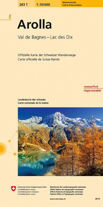
Arolla area, map No. 283T, at 1:50,000 in a special hiking edition of the country’s topographic survey, published by Swisstopo in cooperation with the Swiss Hiking Federation. The map covers…
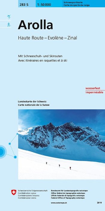
Detailed ski map at 1:50,000 from Swisstopo, the country’s national survey organization, showing routes for skiing and/or snowboarding, access by public transport, recommended itineraries, lists of mountain huts, etc. The…
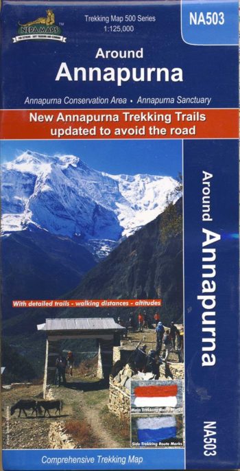
double-sided map – includes new trails and updates
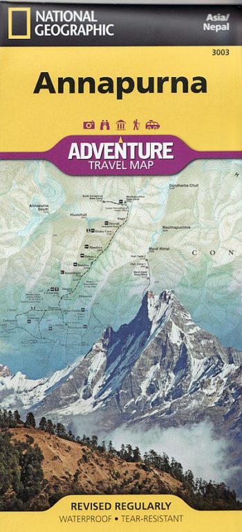
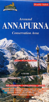
The whole of the Annapurna Circuit prominently highlighted on a map at 1:125,000
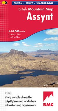
Detailed maps of National Parks and other popular walking areas in the UK at 1:40,000 scale. Made in conjunction with the British Mountaineering Council.
covering Morocco’s Atlas Mountains with its neighbouring deserts and coastal areas.