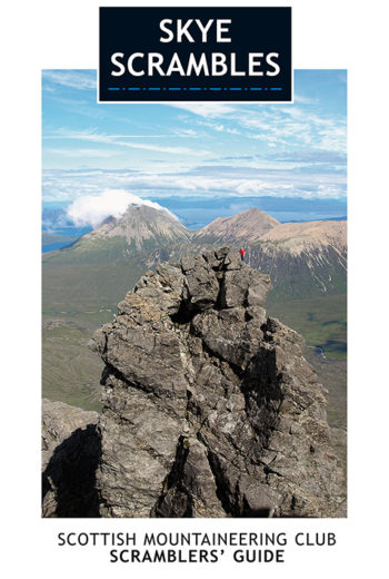
This is the 2011 fully updated and enlarged, colour edition of the very popular SMC guide ‘Skye Scrambles’, first published in 2000. The guide describes not only scrambles, but also…
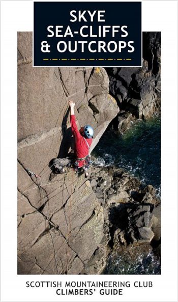
This Scottish Mountaineering Club climbers’ guidebook details all the climbing to be found on the sea-cliffs and outcrops on the magical Isle of Skye.
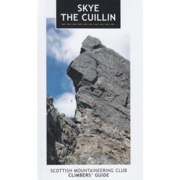
This Scottish Mountaineering Club climbers’ guidebook details all the summer and winter climbing to be found in the Cuillin mountains on the Isle of Skye.
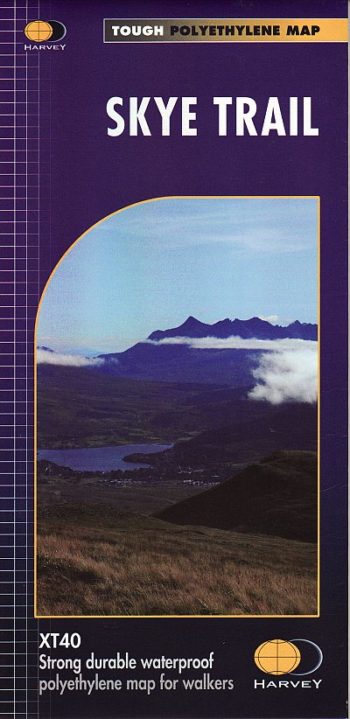
The route follows much of the amazing Trotternish Ridge and passes beneath the peaks and pinnacles of the Cuillin, which are considered to be the finest mountains in Britain. There…
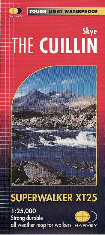
HARVEY Superwalker is designed to be the most practical tool for navigation outdoors. The Superwalker XT25 is based on original HARVEY mapping with all the information a walker would expect…
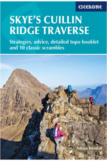
Strategies, advice, detailed topo booklet and 10 classic scrambles
RRP £19.99
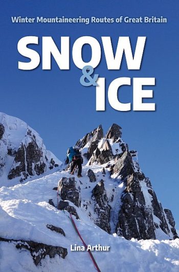
A guide to 100 of the best winter mountaineering routes in Britain, covering North Wales, the Lake District and Scotland.
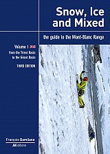
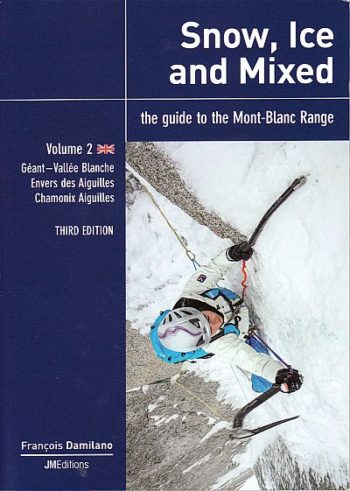
Recognised as an essential reference work for all mountaineers who climb in the Mont Blanc Range, Snow, Ice & Mixed is unusual among guidebooks in that it is both exhaustive…
volume one the guide is in full colour throughout and includes descriptions of 663 routes, shown on 232 colour photographs and also includes 11 maps. It should be noted that…
The BMC Dragon unisex t-shirt celebrates the spectacular Welsh mountains. Featuring a large logo of a Welsh mountain encircled by a Dragon printed on the back of this 100% combined…
This book commemorates the fortieth anniversary of the Snowdonia Society and is a record of its sometimes turbulent history and the ever-changing but still inspiring landscape of the National Park.