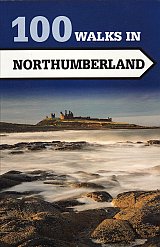
100 walks of up to 12 miles will help you explore the best of this diverse county.
A collection of 100 walks ranges from between three to eleven miles in length.
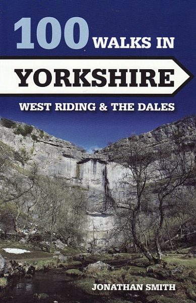
A collection of 100 walks of up to 12 miles covers West Riding and The Dales.
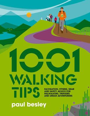
1001 Walking Tips by Paul Besley is a light-hearted and informative guide to all kinds of walking.
Printed in full color and describes 3975 problems from 5- up to 6c+. The problems have been described in such a way that one can both easily find and understand…
This guidebook from Bart van Raaij gives a clear and precise overview of the difficult boulder problems in Fontainebleau, 50 kilometres south of Paris. 3,478 straight ups, graded seven (from…
This selected guide focuses on routes up to a grade of 7a+, which covers the majority of Scotland’s 1500 sport routes.
BPLUS partnered with #tide ocean material to reduce plastic pollution in our oceans and coastlines and recycle it into kickass climbing brushes.
Everest’s Worst Disaster The Untold True Story; this new book takes a fresh look at the tragic events that took place on Everest in May 1996.
In recent years there has been an enormous amount of activity in developing the sport climbing crags and new climbing areas along the A55 expressway corridor in North Wales between…
It includes 27 routes, ranging from the most popular to the road less traveled, covering the three main approaches through the Horcones Valley, South Face, and Vacas and Relinchos Valleys….
‘The last descent and I can’t let myself think it’s in the bag. Anything could happen, take it easy, take no risks. Just get to the finish and win. ‘The…
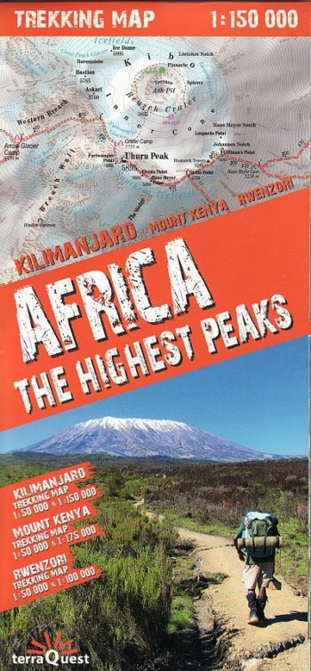
Africa: The Highest Peaks – Detailed trekking map of the higest peaks in Africa.
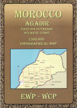
Covering Morocco’s Atlas Mountains with its neighbouring deserts and coastal areas.
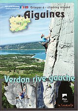
Aiguines Verdon Rive Gauche is a guidebook for the sport climbs in Verdon found on the left side of the river
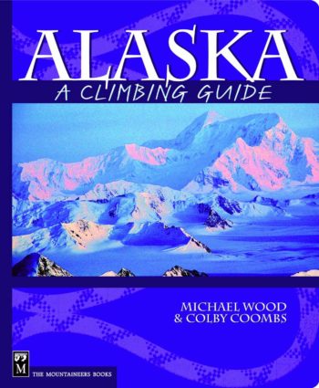
Whether looking to climb Denali’s West Buttress or scale a wall in the Ruth Gorge, Alaska Climbing is the book to take you there. Author Joseph Puryear’s result of 15…
A climbing guide specifically for the warm season.
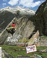
Whether you’re a local, a boulderer loving alpine surroundings or an alpinist enjoying a perfect day’s bouldering between big alpine routes: The new boulder guidebook Alpen en bloc will give…
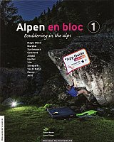
Bouldering in the Alps: Yet another bouldering guide to the southern Alpine regions, which have gained ever-increasing popularity in recent years. Unlike the other recent offering, Swiss Bloc v1, this…
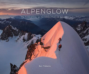
ALPENGLOW is a beautiful and inspiring book of photographs, drawings and stories from the highest peaks of the European Alps.
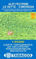
Feltre, Canale S. Bovo, P.so Broc n, Imer, Mezzano, Primiero, Gruppo del Pizzocco, Piani Eterni, Valle di Canz i
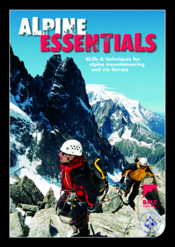
Skills and techniques for alpine mountaineering and via ferrata.
RRP £14.95
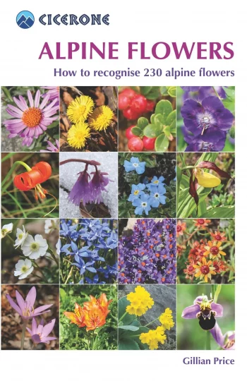
A pocket field guidebook for identifying 230 of the most commonly found alpine flowers of the Alps. Categorised by colour for quick identification, each alpine flower has a photograph and…
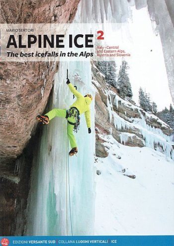
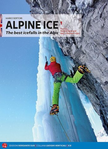
A selection of the most attractive ice falls in France, Switzerland, Italy, Austria and Slovenia.
Alpine Ice vol.1 France, Switzerland and Italy – Western Alps This is the first of 2 volumes to replace the original Alpine Ice guide. Approximately 700 routes described in this…
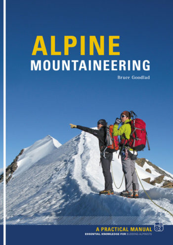
This is a complete introduction to Alpine mountaineering. If you are planning your first trip to the Alps or anxious to improve on your performance on previous trips, you need…
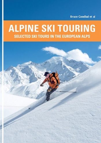
This is a selected guidebook of ski tours in the European Alps.
Sas de Putia / Peitlerkofel, Puez, Gherdenacia, Sella, Pad n, Col di Lana, Lagazuoi, F nes, Sas dla Crusc / Kreuzkofel
The 200km (125 mile) long Anglesey Coastal Path is a long distance route that follows much of the island’s coastline and comprises one section of the Wales Coast Path.
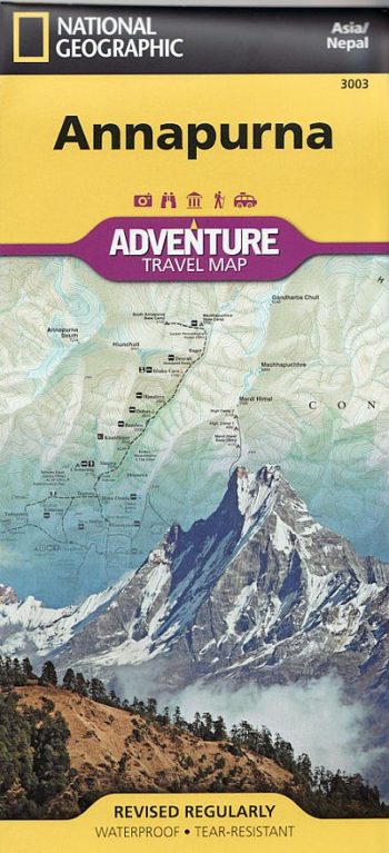
• Waterproof • Tear-Resistant • Travel Map
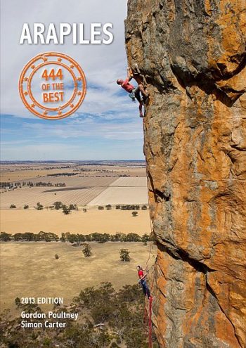
A no-nonsense guidebook covering the best routes at all grades.
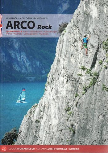
2018 edition of a guidebook to a fantastic old destination – situated between Lake Garda and the Sarca Valley in the stunning Italian Lakes, Arco offers some of Europe’s best…
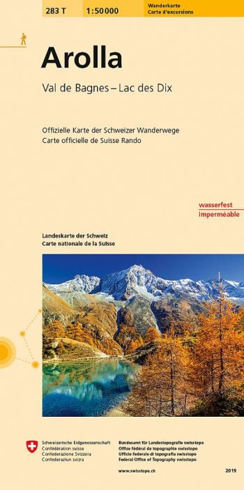
Arolla area, map No. 283T, at 1:50,000 in a special hiking edition of the country’s topographic survey, published by Swisstopo in cooperation with the Swiss Hiking Federation. The map covers…
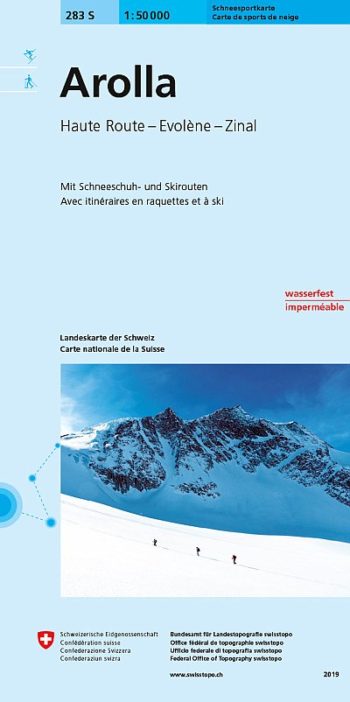
Detailed ski map at 1:50,000 from Swisstopo, the country’s national survey organization, showing routes for skiing and/or snowboarding, access by public transport, recommended itineraries, lists of mountain huts, etc. The…
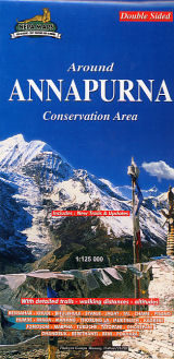
double-sided map – includes new trails and updates