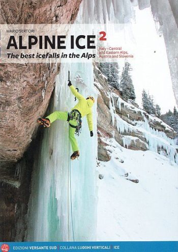
A selection of the most attractive ice falls in France, Switzerland, Italy, Austria and Slovenia.
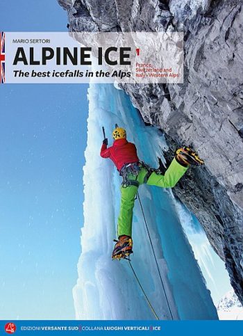
Alpine Ice vol.1 France, Switzerland and Italy – Western Alps This is the first of 2 volumes to replace the original Alpine Ice guide. Approximately 700 routes described in this…
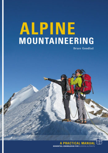
This is a complete introduction to Alpine mountaineering. If you are planning your first trip to the Alps or anxious to improve on your performance on previous trips, you need…
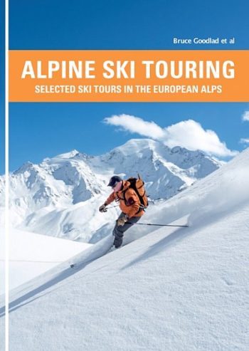
This is a selected guidebook of ski tours in the European Alps.
Sas de Putia / Peitlerkofel, Puez, Gherdenacia, Sella, Pad n, Col di Lana, Lagazuoi, F nes, Sas dla Crusc / Kreuzkofel
The 200km (125 mile) long Anglesey Coastal Path is a long distance route that follows much of the island’s coastline and comprises one section of the Wales Coast Path.
• Waterproof • Tear-Resistant • Travel Map
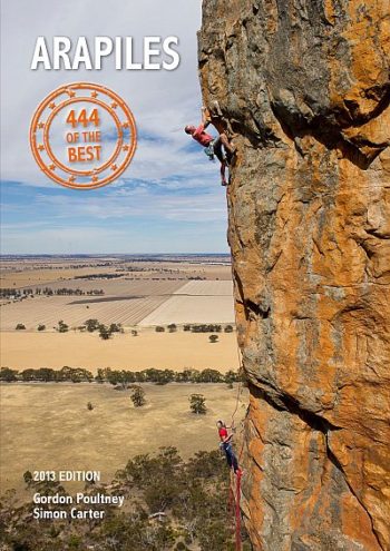
A no-nonsense guidebook covering the best routes at all grades.
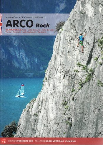
2018 edition of a guidebook to a fantastic old destination – situated between Lake Garda and the Sarca Valley in the stunning Italian Lakes, Arco offers some of Europe’s best…
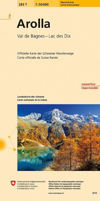
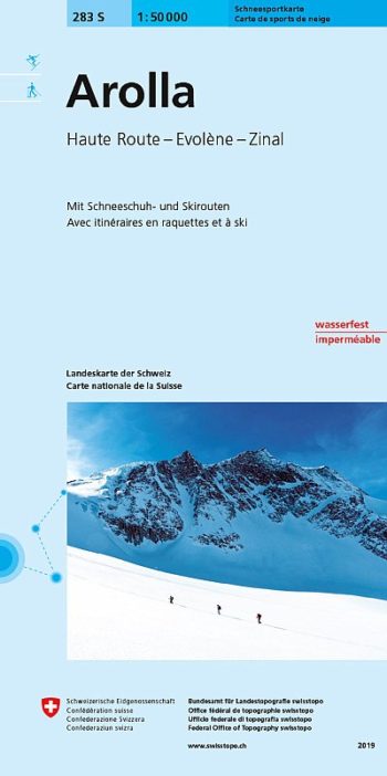
Arolla area, map No. 283T, at 1:50,000 in a special hiking edition of the country’s topographic survey, published by Swisstopo in cooperation with the Swiss Hiking Federation. The map covers…
Detailed ski map at 1:50,000 from Swisstopo, the country’s national survey organization, showing routes for skiing and/or snowboarding, access by public transport, recommended itineraries, lists of mountain huts, etc. The…
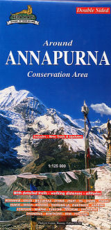
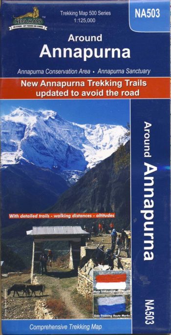
double-sided map – includes new trails and updates
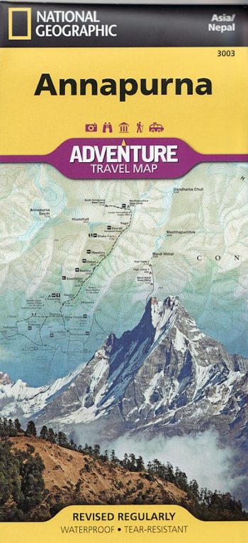
The whole of the Annapurna Circuit prominently highlighted on a map at 1:125,000
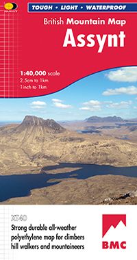
Detailed maps of National Parks and other popular walking areas in the UK at 1:40,000 scale. Made in conjunction with the British Mountaineering Council.
The definitive guide
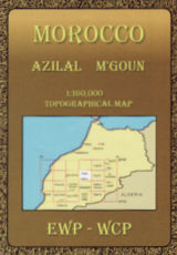
covering Morocco’s Atlas Mountains with its neighbouring deserts and coastal areas.
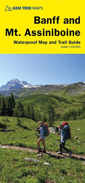
includes inset 1:50,000 Mount Assiniboine This map covers the most popular hiking and mountain biking terrain in Banff National Park, from Lake Louise in the north to the south end…
‘When it comes to training for climbing, you are your own experiment.’
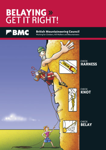
The new edition of the BMC’s belaying and abseiling leaflet has some important changes.
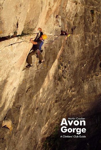
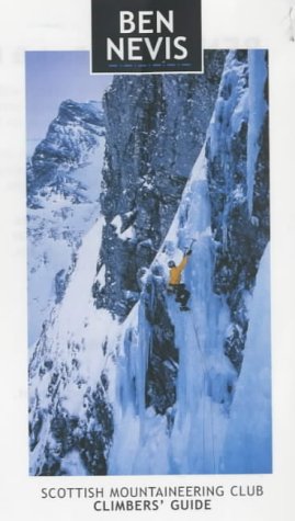
Details the rock & ice climbs of the world renowned Ben Nevis, together with Creag Meagaidh, the accessible Aonachs and the Central Highlands.
Areas included Jura Freiburger Alpen Waadtlandeer Alpen Wallis Zentralschweiz Alpenstein Glarrner Alpen Urner Alpen Berner Alpen Ressin Bergell
Salzburg & Berchtesganer Land
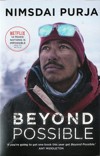
A story of his life before his recent epic achievement of leading the team that scaled K2 in winter.
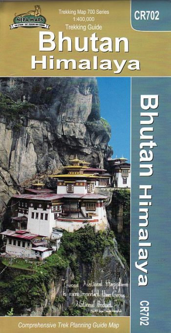
Bhutan at 1:400,000 on a map from the Kathmandu-based Nepa Maps highlighting main trekking routes, national parks and places of interest, plus maps of Thimpu City and the Paro area…